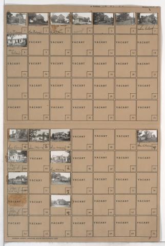
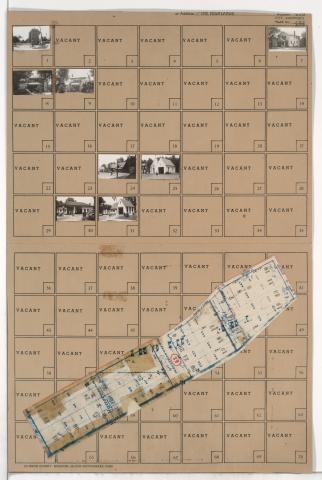
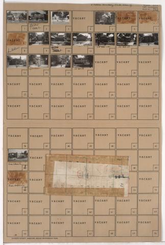
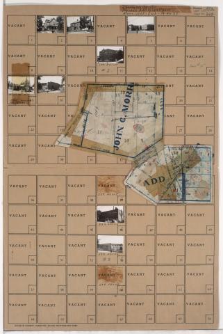
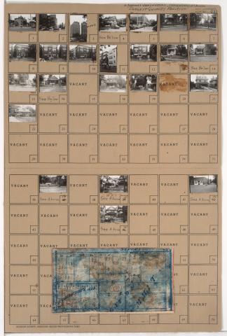
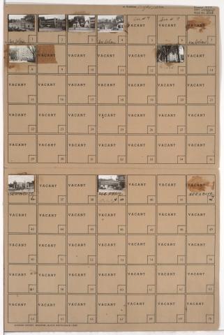
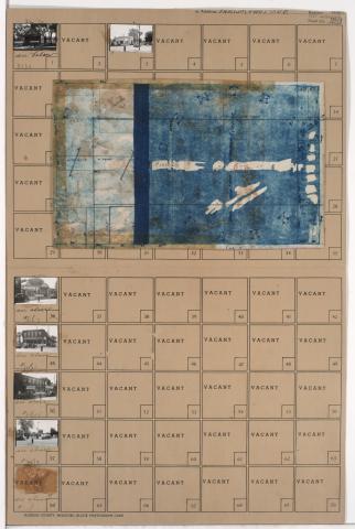
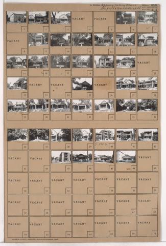
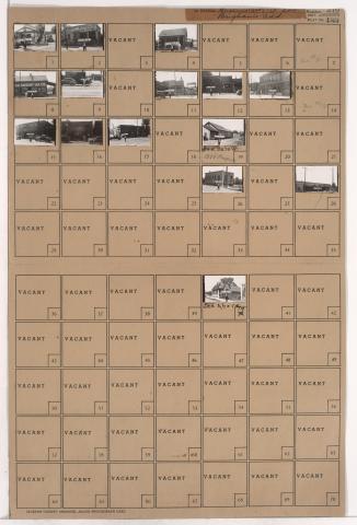
Tax Assessment Block Folder, Kansas City, MO, District 20, Block 86
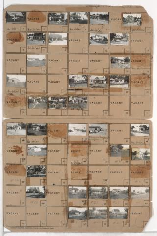
Folder contains photographs of residences, businesses, and other buildings in the Royal Oaks neighborhood, from 107th Street south to Hickman Mills Road, and Grandview Road east to Hillcrest Road.