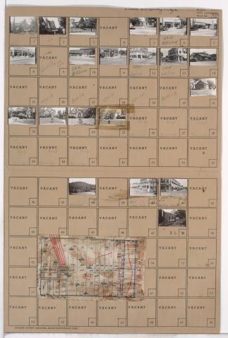
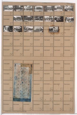
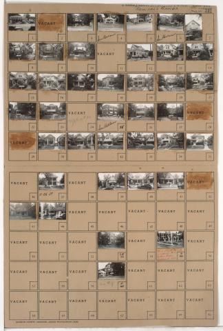
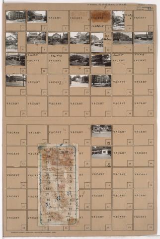
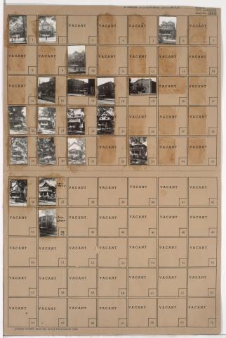
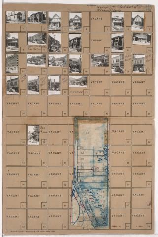
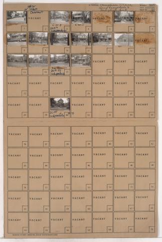
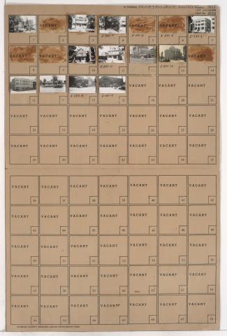
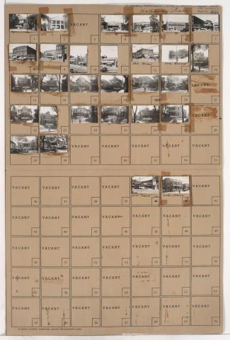
Tax Assessment Block Folder, Kansas City, MO, District 14, Block 134
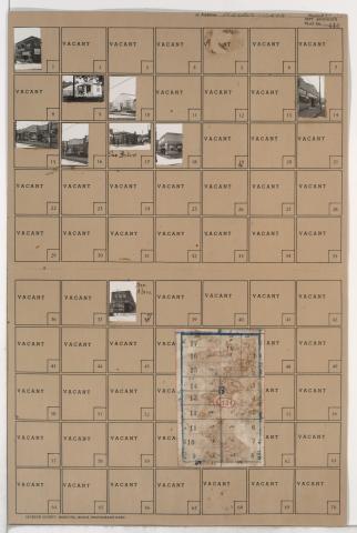
Folder contains photographs of businesses and other buildings in the North Town Fork Creek neighborhood, from Swope Parkway south to 49th Street, and Prospect Avenue east to Montgall Avenue. Folder also includes a plat map of the block.