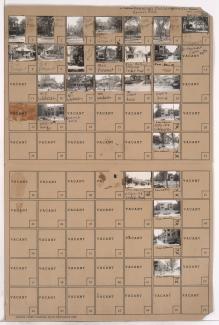
2536 Independence Avenue
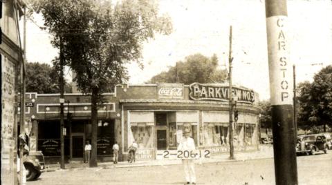
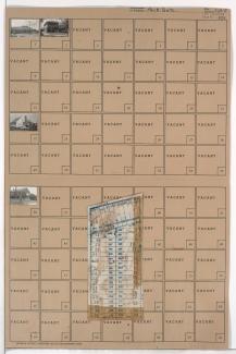
Folder contains photographs of residences and businesses in the East Meyer Cluster neighborhood, from Meyer Boulevard south to 67th Street, and Prospect Avenue east to Montgall Avenue. Parkview Drugstore, at Meyer and Prospect, is among the buildings pictured. Folder also includes a plat map of the block.
Folder contains photographs of residences, businesses, and other buildings in the Beacon Hill neighborhood, from 30th Street south to 31st Street, and Troost Avenue east to Forest Avenue. Second Church of Christ Scientist, at 31st and Troost, is among the buildings pictured.
Folder contains photographs of businesses and other buildings in downtown Kansas City, from 10th Street south to 11th Street, and Oak Street east to Locust Street. The Claridge and Drake Hotels, on Locust, and the College of Commerce, at 11th and Locust, are among the buildings pictured.
Folder contains photographs of residences and businesses in the Pendleton Heights neighborhood, from Amie Street south to Independence Avenue, and Wabash Avenue east to Prospect Boulevard. The Dora Beals residence, at 538 Prospect, a Parkview Drugstore, at Independence and Prospect, and the Stonewall Court Apartments, at Wabash and Independence, are among the buildings pictured.