White Rose Gasoline

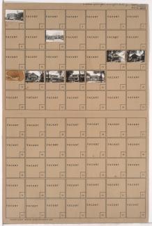
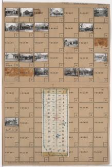
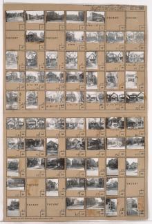
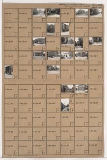
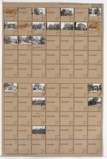
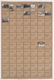
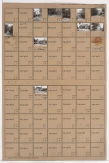
Tax Assessment Block Folder, Kansas City, MO, District 11, Block 55

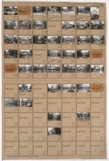
Folder contains photographs of residences, businesses, and apartment buildings in the Valentine neighborhood, from 34th Street south to 34th Terrace, and Pennsylvania Avenue east to Broadway Boulevard, including a section of Washington Street. An A&P Supermarket, at 34th Street and Broadway, is among the buildings pictured. Folder also includes a plat map of the block, which can be viewed below.

Tax Assessment Block Folder, Kansas City, MO, District 5, Block 47

Folder contains photographs of residences, businesses, and other buildings in the Paseo West neighborhood, from Admiral Boulevard south to 8th Street, and Troost Avenue east to Forest Avenue. A White Rose filling station, at 1121 Admiral, is among the buildings pictured.

Tax Assessment Block Folder, Kansas City, MO, District 4, Block 32

Folder contains photographs of residences and businesses in downtown Kansas City, from 9th Street south to 10th Street, and Cherry Street east to Holmes Street. St. Francis Hotel, at 9th and Holmes Streets, Ognir Hotel, on Cherry Street, and Bungalow 5�� Hamburgers, at 605 East 9th, are among the buildings pictured.