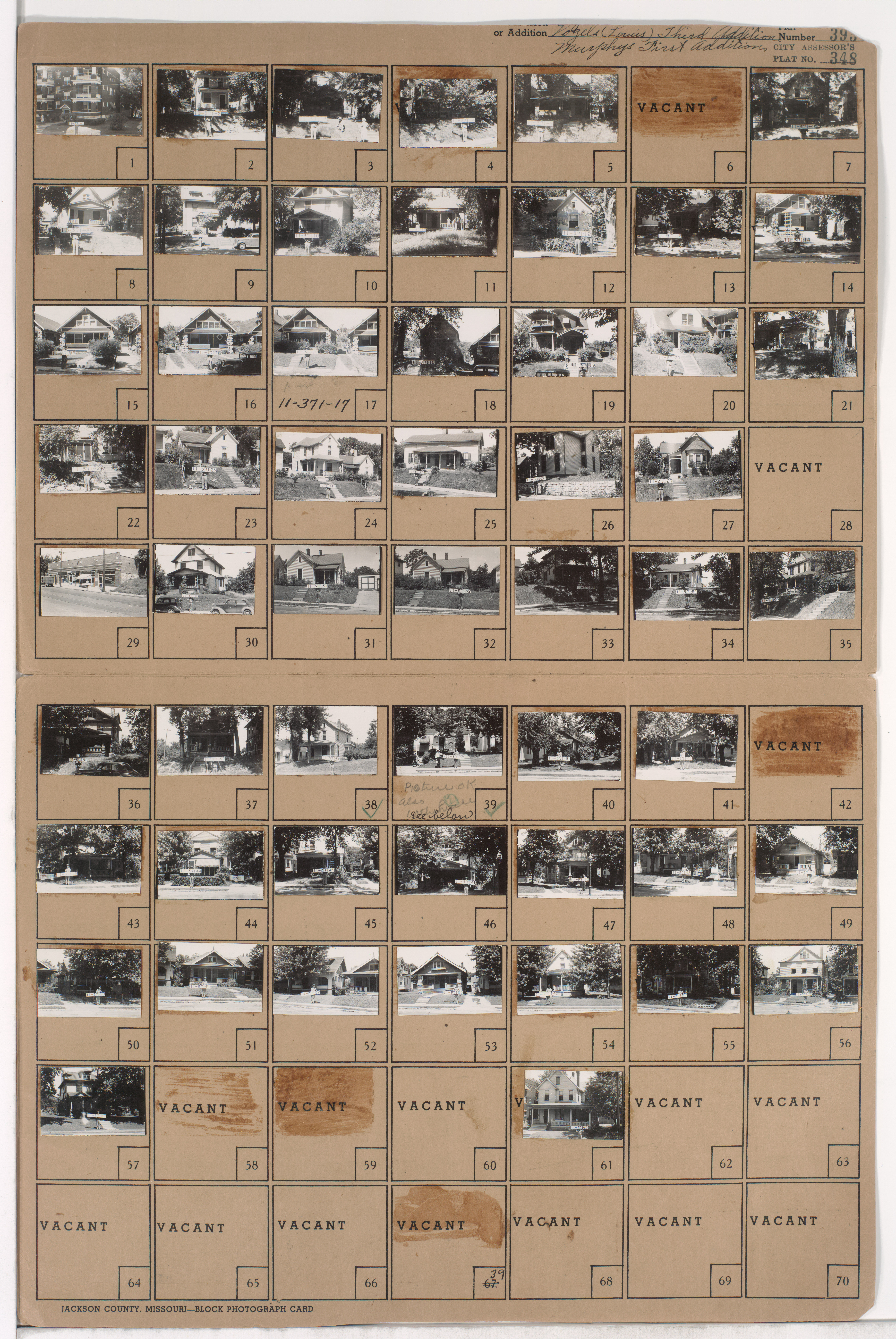
Folder contains photographs of residences, businesses, and apartment buildings in the Volker neighborhood, from 41st Street south to Westport Road, and Roanoke Road east to Clark Avenue. Folder also includes a plat map of the block, which can be viewed below.
Hover & Scroll to Zoom
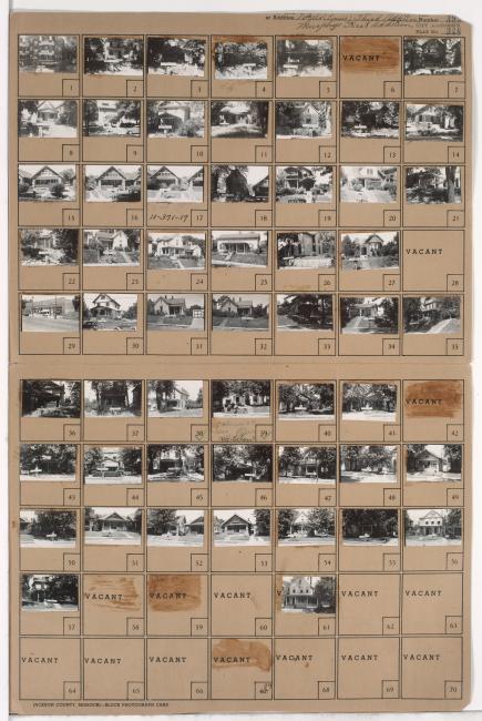
Missing images for parcels 6, 42, 58, and 59, and an additional image for parcel 39.
Click to View Full Image File
Request a Building Photo
Any use of the images found in this collection should include the following credit: Missouri Valley Special Collections, Kansas City Public Library, Kansas City, Missouri. To inquire about permissions, please contact Missouri Valley Special Collections at (816) 701-3427 or lhistory@kclibrary.org
This project is supported by the Institute of Museum and Library Services under the provisions of the Library Services and Technology Act as administered by the Missouri State Library, a division of the Office of the Secretary of State.