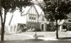
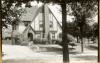
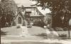
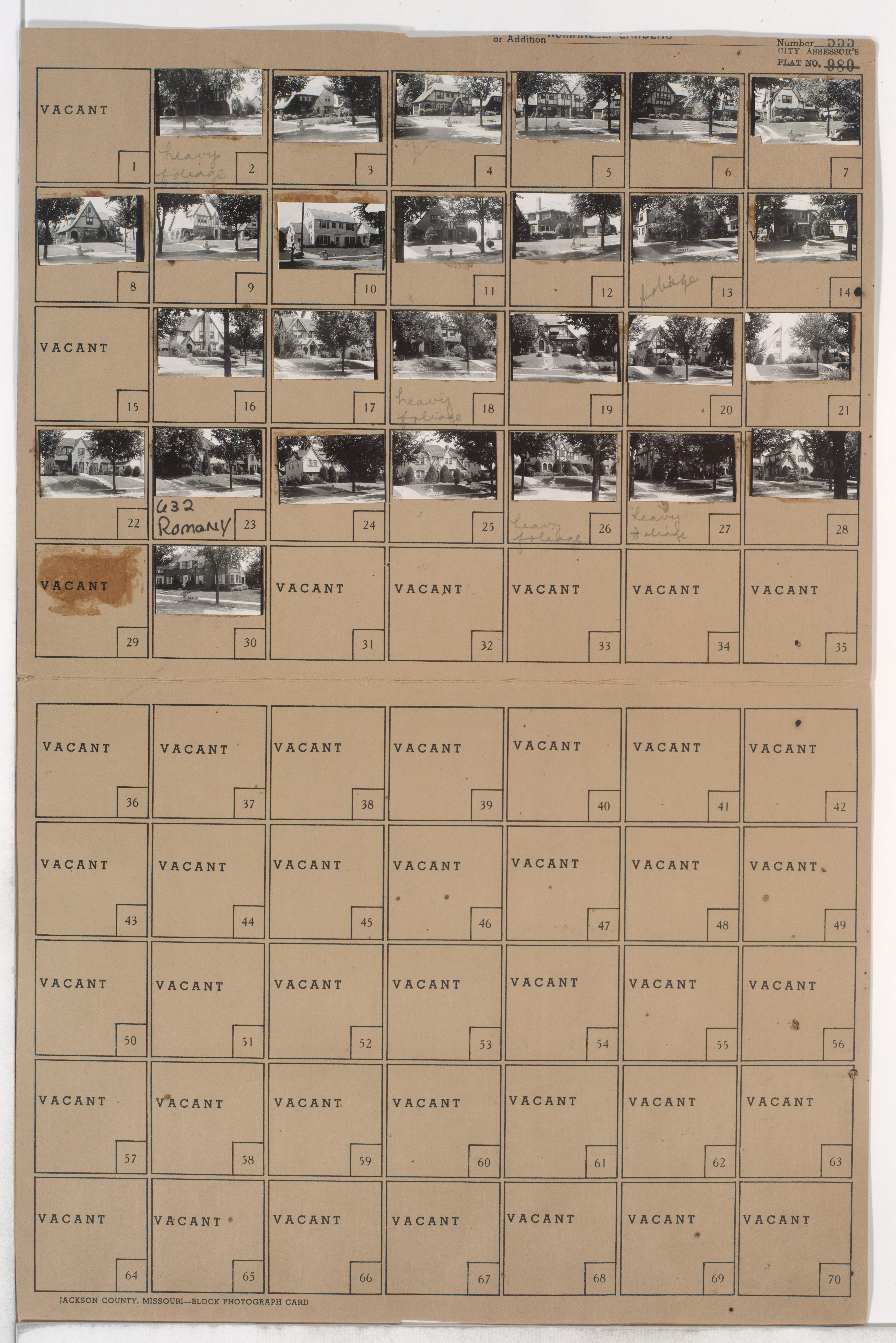
Folder contains photographs of residences in the Armour Fields neighborhood, from 69th Terrace south to Romany Road, and Valley Road east to Pennsylvania Avenue.
Hover to Zoom

Neighborhood
Additions / Subdivisions
Street Names
Digital Object Identifier
40004966
Notes
Missing image for parcel 29.
Folder Number
17-144
County Plat Number
555
555A
555B
555C
City Plat Number
980
Download Image File
Request a Building Photo
Genre
Subject
Date
Source
P38, Box 42, Folder 420
State
Missouri
County
Jackson
City
Kansas City
Collection Name
Kansas City 1940 Tax Assessment Photographs
View on Missouri Digital Heritage
Rights
Any use of the images found in this collection should include the following credit: Missouri Valley Special Collections, Kansas City Public Library, Kansas City, Missouri. To inquire about permissions, please contact Missouri Valley Special Collections at (816) 701-3427 or lhistory@kclibrary.org
Acknowledgement
This project is supported by the Institute of Museum and Library Services under the provisions of the Library Services and Technology Act as administered by the Missouri State Library, a division of the Office of the Secretary of State.