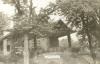
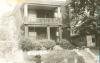
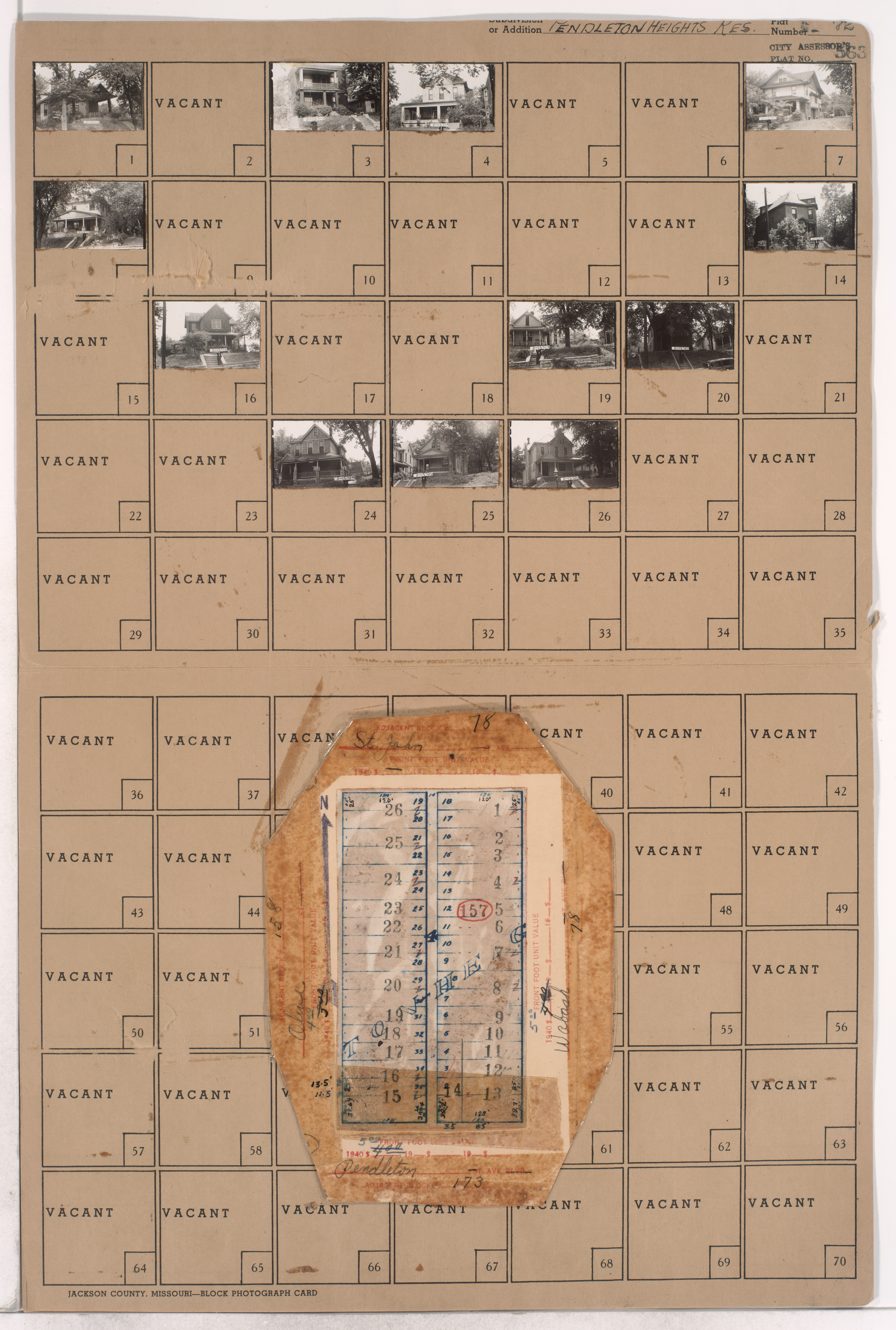
Folder contains photographs of residences in the Pendleton Heights neighborhood, from St. John Avenue south to Pendleton Avenue, and Olive Street east to Wabash Avenue. Folder also contains plat map of the block.
Hover to Zoom

Neighborhood
Street Names
Digital Object Identifier
40001344
Folder Number
2-157
County Plat Number
72
City Plat Number
563
Download Image File
Request a Building Photo
Genre
Subject
Date
Source
P38, Box 4, Folder 33
State
Missouri
County
Jackson
City
Kansas City
Collection Name
Kansas City 1940 Tax Assessment Photographs
View on Missouri Digital Heritage
Rights
Any use of the images found in this collection should include the following credit: Missouri Valley Special Collections, Kansas City Public Library, Kansas City, Missouri. To inquire about permissions, please contact Missouri Valley Special Collections at (816) 701-3427 or lhistory@kclibrary.org
Acknowledgement
This project is supported by the Institute of Museum and Library Services under the provisions of the Library Services and Technology Act as administered by the Missouri State Library, a division of the Office of the Secretary of State.