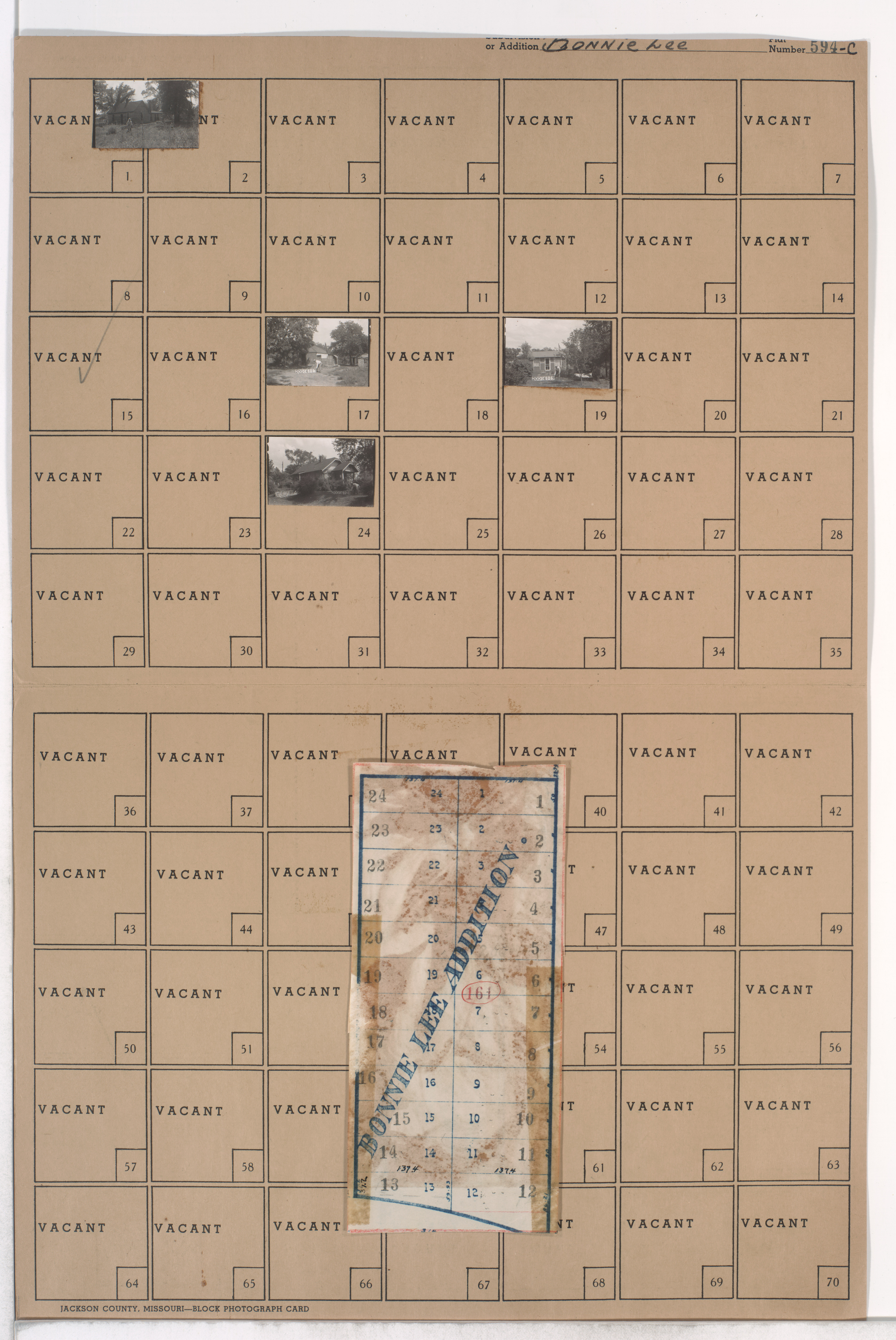
Folder contains photographs of residences in the Marlborough South neighborhood south of the 1940 Kansas City city limits, south of 86th Street and from Highland Avenue east to Woodland Avenue. Folder also includes a plat map of the block.
Hover & Scroll to Zoom
Click to View Full Image File
Request a Building Photo
Any use of the images found in this collection should include the following credit: Missouri Valley Special Collections, Kansas City Public Library, Kansas City, Missouri. To inquire about permissions, please contact Missouri Valley Special Collections at (816) 701-3427 or lhistory@kclibrary.org
This project is supported by the Institute of Museum and Library Services under the provisions of the Library Services and Technology Act as administered by the Missouri State Library, a division of the Office of the Secretary of State.
Identified Buildings from this Block
No building/parcel addresses have been identified for this block folder.