Tax Assessment Block Folder, Kansas City, MO, District 13, Block 156 - 1
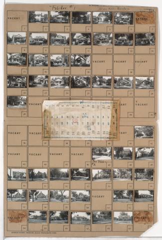
First of two folders containing photographs of residences in the Citadel neighborhood, from 59th Street south to 63rd Street, and Blue Hills Road east to Park Avenue, including sections of Brooklyn Avenue and 62nd Street. A plat map for a portion of the area, northwest of 62nd Street and Park Avenue along Brooklyn Avenue, can be seen below. Plat map for Block 157 was incorrectly scanned with the folder.