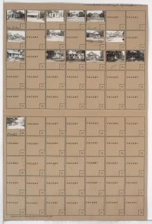
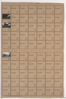
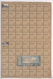
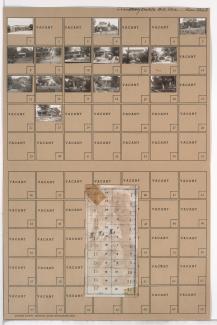
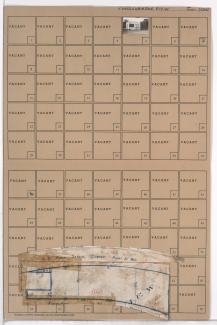
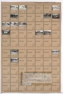
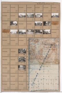
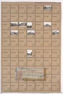
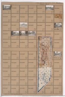
Tax Assessment Block Folder, Kansas City, MO, District 14, Block 29
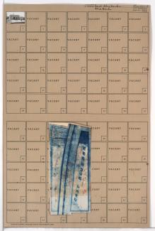
Folder contains a photograph of a business in the Swope Parkway neighborhood, from Blue Ridge Road south to 51st Street, and Chelsea Avenue east to Brighton Avenue. Folder also includes a plat map of the block.