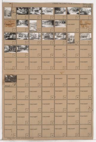
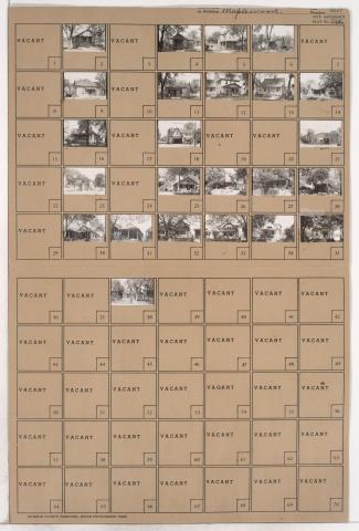
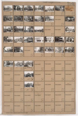
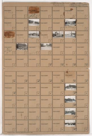
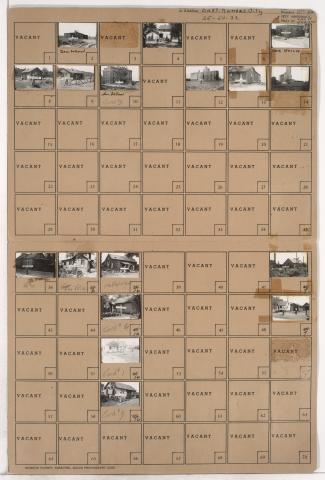
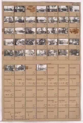
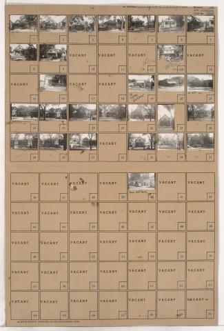
Tax Assessment Block Folder, Kansas City, MO, District 1, Block 92
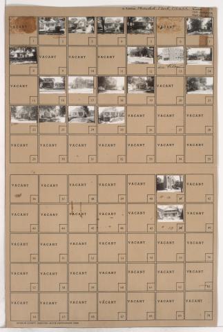
Folder contains photographs of residences, businesses, and a church in the Budd Park Place subdivision, from Scarritt Avenue south to St. John Avenue, and Quincy Avenue east to Denver Avenue. Holy Cross Roman Catholic Church, at 5100 St. John Avenue, is among the buildings pictured.