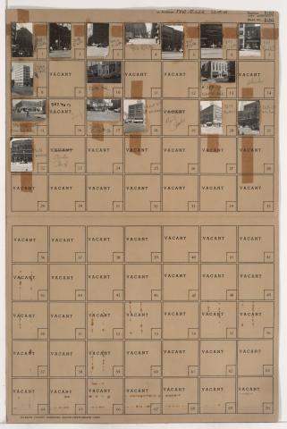
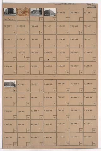
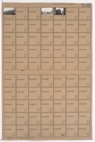
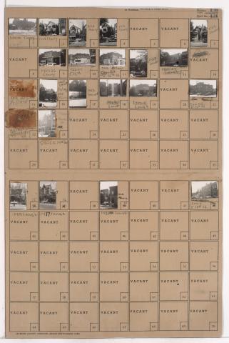
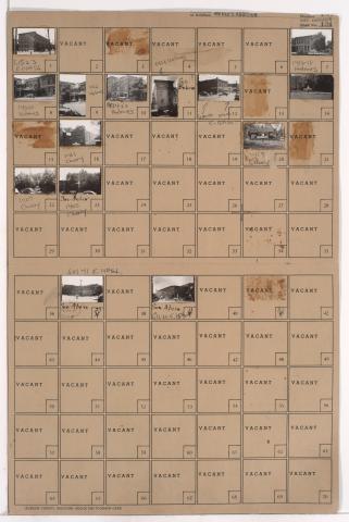
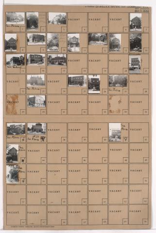
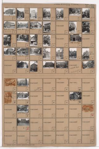
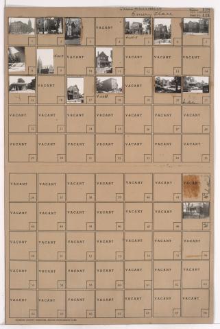
Tax Assessment Block Folder, Kansas City, MO, District 4, Block 162
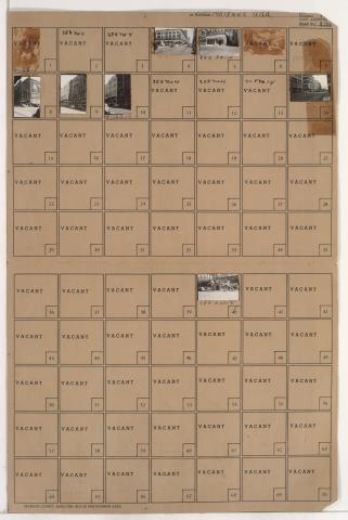
Folder contains photographs of businesses and other buildings in downtown Kansas City, from 12th Street south to 13th Street, and Main Street east to Walnut Street. The Jones Department Store, at 12th and Main, is among the buildings pictured.