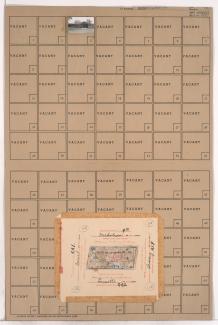
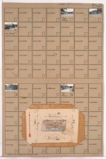
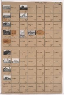
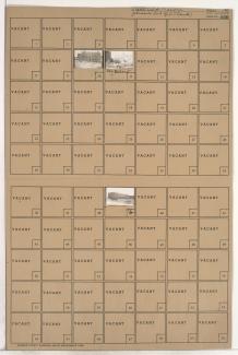
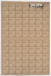
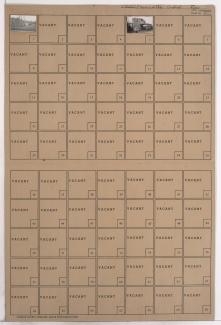
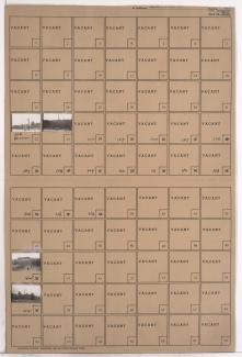
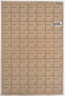
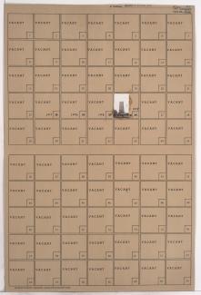
Tax Assessment Block Folder, Kansas City, MO, District 2, Block 221
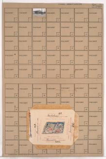
Folder contains a photograph of a building in an area of Northeast Kansas City, from Front Street south to Guinotte Avenue, and Troost Avenue east to Forest Avenue. Folder also contains plat map of the block.