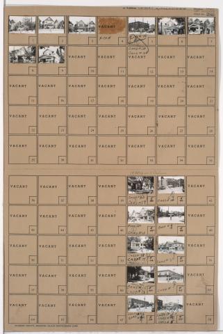
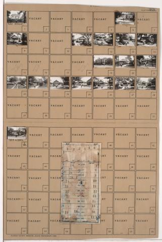
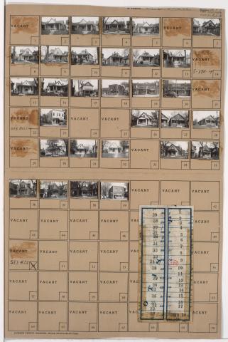
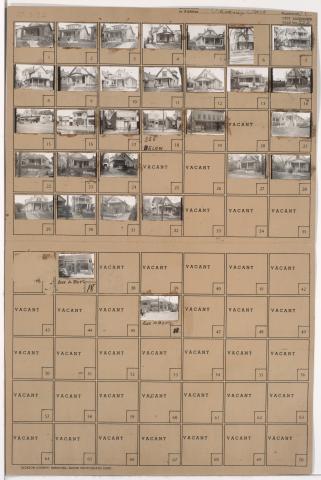
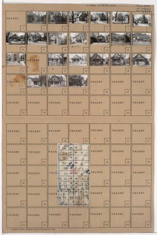
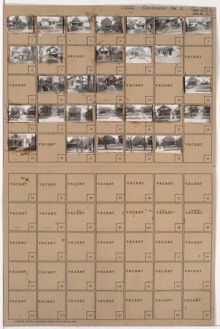
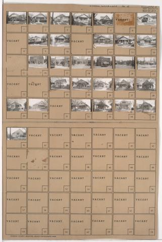
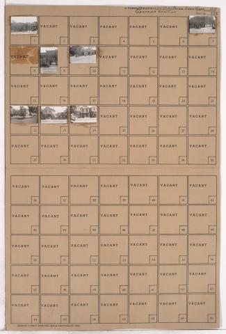
Tax Assessment Block Folder, Kansas City, MO, District 11, Block 122
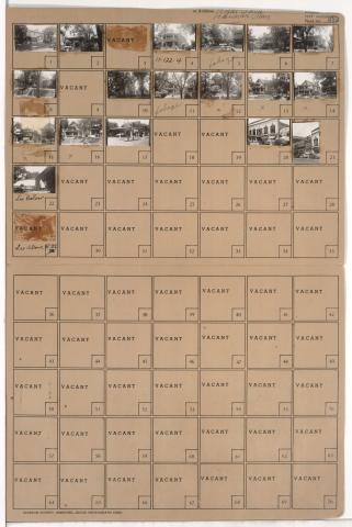
Folder contains photographs of residences, businesses, and apartment buildings in the Old Hyde Park neighborhood, from 36th Street south to 37th Street, and Broadway Boulevard east to Central Street. The Century Room, at 3607 Broadway, is among the buildings pictured.