Cemeteries

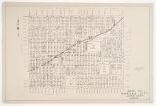
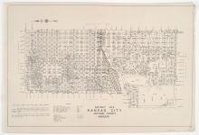
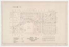
District No. 4 Map, Kansas City, Jackson County, Missouri

Detail map of District 4 of the 1940 tax assessment project. Map illustrates block numbers, appraised values, and plat boundaries, as well as railroad lines, streets, cemeteries, and parks. The map covers an area from 5th Street and Independence Avenue south to 31st Street, and Broadway Boulevard (north of 25th Street) and Summit Street (south of 25th Street) east to Troost Avenue.

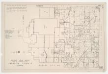
District No. 30 South (Range 32, Townships 49 & 50) Map, Jackson County, Missouri

Detail map of the southern section of District 30 of the 1940 tax assessment project. Map illustrates block numbers, appraised values, and plat boundaries, as well as streets, railroads, and other features. The map covers an area of central Jackson County, Missouri, primarily south of Sugar Creek and Independence to 59th Street, and west of Lee's Summit Road.

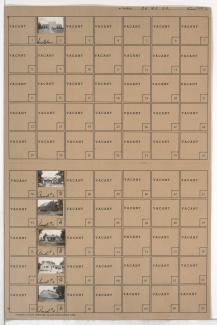
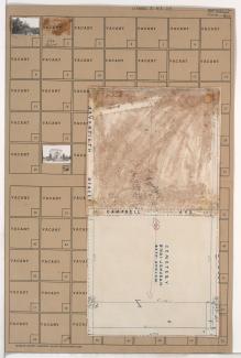
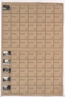
Tax Assessment Block Folder, Kansas City, MO, District 17, Block 91

Folder contains photographs of businesses and other buildings in the Holmes Park neighborhood, from 69th Street south to 70th Street, and Holmes Road east to Troost Avenue, including a section of Campbell Street. Suddarth Funeral Home, at 69th and Troost, is among the buildings pictured. Folder also includes a plat map of the block.