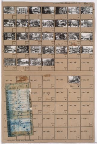
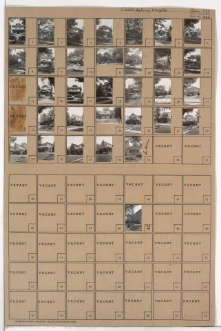
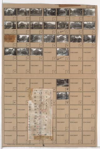
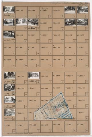
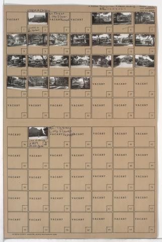
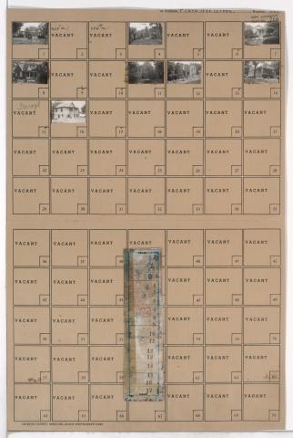
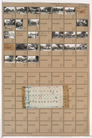
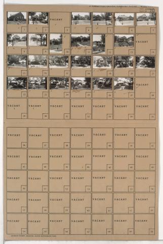
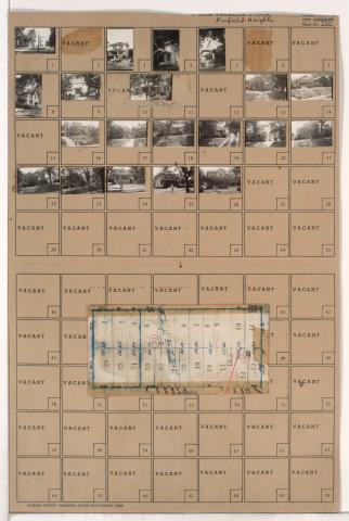
Tax Assessment Block Folder, Kansas City, MO, District 11, Block 366
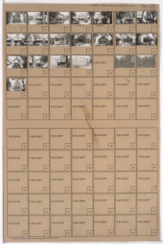
Folder contains photographs of residences and other buildings in the Volker neighborhood, from 40th Street south to 41st Street, and Wyoming Street east to Terrace Street. Roanoke Christian Church, at 4001 Wyoming, is among the buildings pictured.