Delicatessens
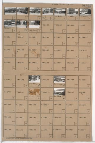
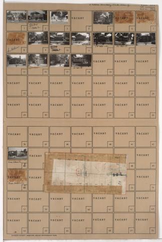
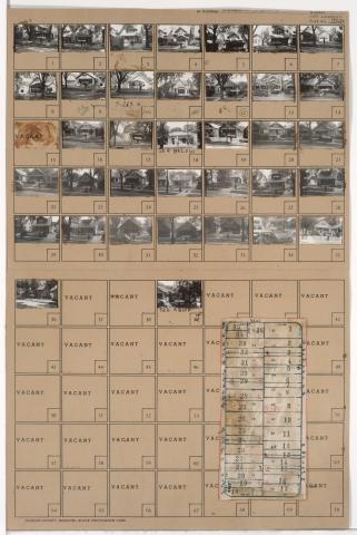
Tax Assessment Block Folder, Kansas City, MO, District 12, Block 101
Folder contains photographs of residences and businesses in the South Plaza neighborhood from 50th Street south to 51st Street, and Baltimore Avenue east to Main Street. Crown Drug, at 51st and Main, and Country Club Laundry, at 5028 Main, are among the buildings pictured. Folder also contains a plat map of the block.
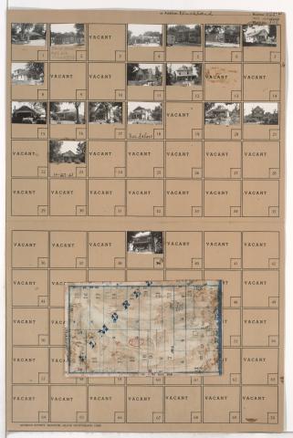
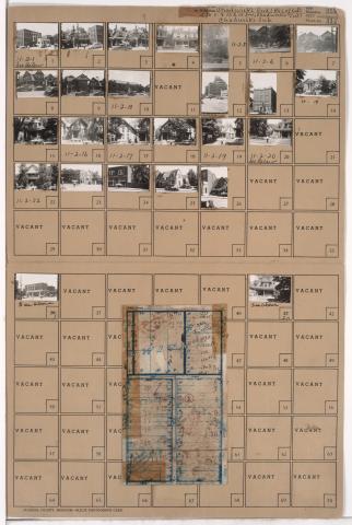
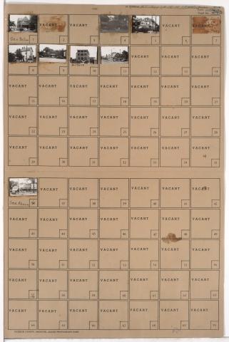
Tax Assessment Block Folder, Kansas City, MO, District 11, Block 2
Folder contains photographs of residences, businesses, and apartment buildings in the North Hyde Park neighborhood, from 31st Street south to Linwood Boulevard, and Campbell Avenue east to Harrison Street. The Kansas City Ladies' Athenaeum Club Building, at 900 East Linwood, and the LaSalle Apartment Hotel, at Linwood and Harrison, are among the buildings pictured. Folder also includes a plat map of the block.
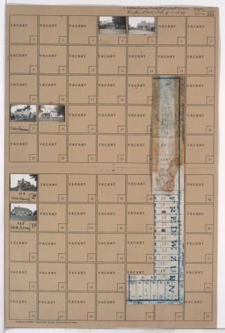
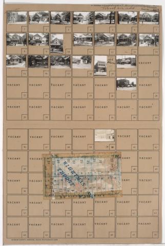
Tax Assessment Block Folder, Kansas City, MO, District 10, Block 202
Folder contains photographs of residences, businesses, and other buildings in the Manheim Park neighborhood, from 43rd Street south to 44th Street, and Troost Avenue east to Forest Avenue. Forest Avenue Baptist Church, at 4300 Forest, Nester's Market, at 4335 Troost, and Sunny Side Buffet, at 4343 Troost, are among the buildings pictured. Folder also includes a plat map of the block.
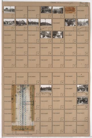
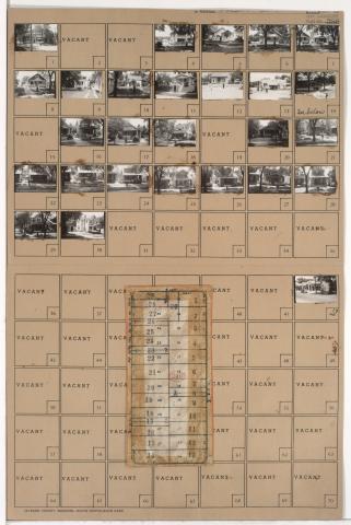
Tax Assessment Block Folder, Kansas City, MO, District 9, Block 240
Folder contains photographs of residences, businesses, and other buildings in the Oak Park Northwest neighborhood, from 38th Street south to 39th Street, and South Benton Avenue east to Agnes Avenue. Agnes Market, at 3800 Agnes, is among the buildings pictured. Folder also includes a plat map of the block.
Pagination
- Page 1
- Next page
