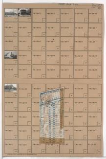
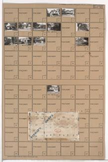
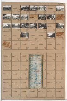
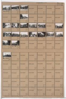
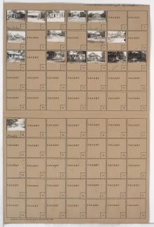
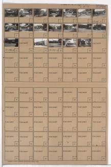
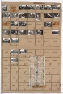
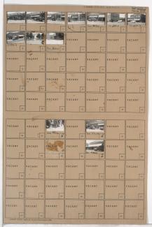
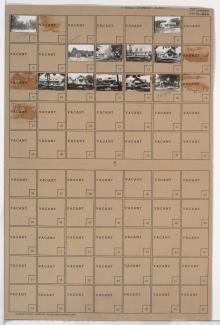
Tax Assessment Block Folder, Kansas City, MO, District 15, Block 110
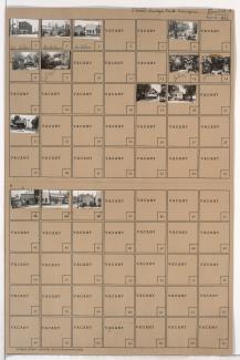
Folder contains photographs of residences, businesses, and other buildings in the Foxtown West neighborhood, from 67th Street south to 68th Street, and Monroe Avenue east to Cleveland Avenue.