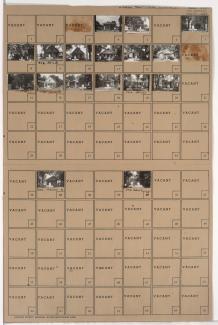
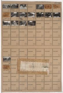
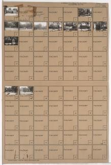
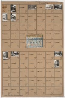
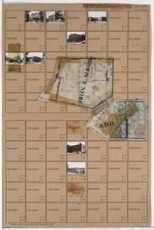
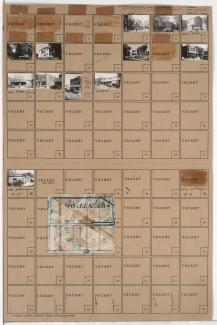
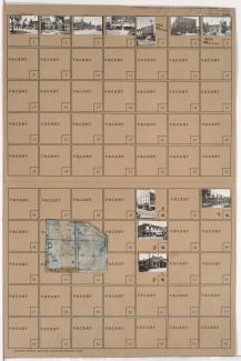
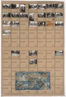
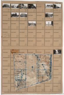
Tax Assessment Block Folder, Kansas City, MO, District 12, Block 94
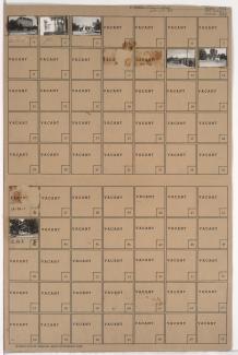
Folder contains photographs of businesses and other buildings in the South Plaza neighborhood, from Brush Creek and 48th Street (later Volker Boulevard) south to 51st Street, and Brookside Boulevard east to Oak Street, including a section of 51st Street.