Tax Assessment Block Folder, Kansas City, MO, District 16, Block 3
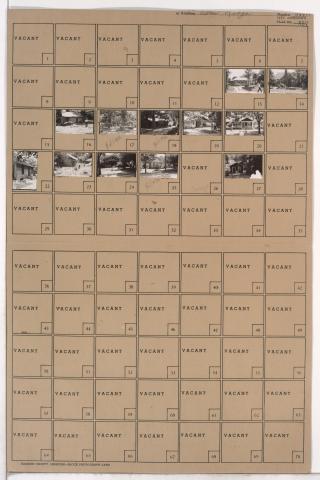
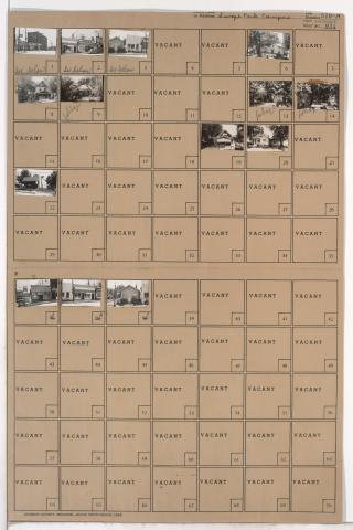
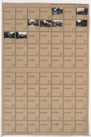
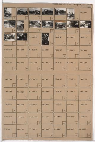
Folder contains photographs of residences in the Blenheim Square neighborhood, from 63rd Street south to 65th Street, and Woodland Avenue east to Euclid Avenue.
Folder contains photographs of residences in the Blenheim Square neighborhood, from 63rd Street south to 65th Street, and Woodland Avenue east to Euclid Avenue.
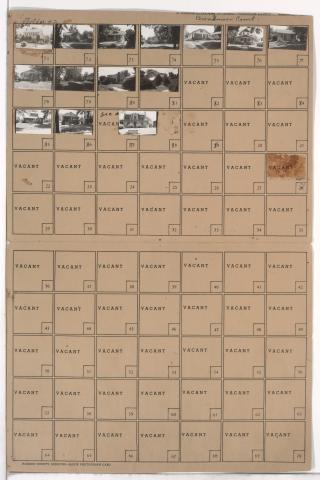
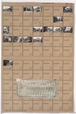
Second of two folders containing photographs of residences in the Neighbors United for Action neighborhood, from 66th Street south to 66th Terrace, and Troost Avenue east to Broadmoor Road, including sections of Tracy, Virginia, and Lydia Avenues.
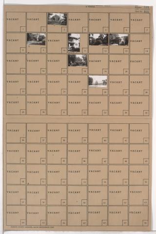
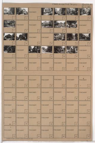
Folder contains photographs of residences and other buildings in the Foxtown East neighborhood, from 67th Street south to 67th Terrace, and Myrtle Avenue east to Jackson Avenue.
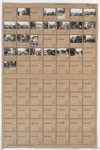
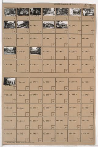
Folder contains photographs of residences in the Foxtown East neighborhood, from 67th Terrace south to 68th Street, and Cleveland Avenue east to Myrtle Avenue.
Folder contains photographs of residences, businesses, and other buildings in the Foxtown West neighborhood, from 67th Street south to 68th Street, and Monroe Avenue east to Cleveland Avenue.
Folder contains photographs of residences in the Foxtown East neighborhood, from 67th Terrace south to 68th Street, and Myrtle Avenue east to Jackson Avenue. Folder also includes a plat map of the block.
Folder contains photographs of residences in the Foxtown West neighborhood, from 67th Street south to 68th Street, and Bales Avenue east to Askew Avenue.
Folder contains photographs of residences and businesses in the Foxtown West neighborhood, from 67th Street south to 68th Street, and Indiana Avenue east to Bales Avenue.
Folder contains photographs of residences in the Foxtown West neighborhood, from 67th Street south to 68th Street, and College Avenue east to Indiana Avenue.
Folder contains photographs of residences and other buildings in the Foxtown West neighborhood, from 67th Street south to 68th Street, and Walrond Avenue east to College Avenue.