Nightclubs

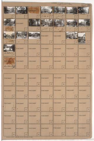
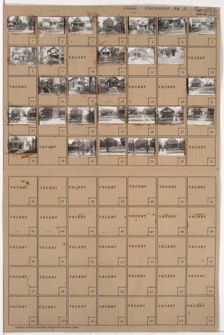
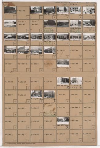
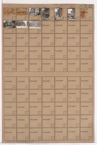
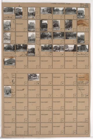
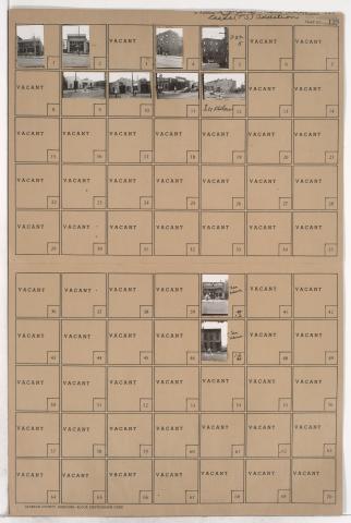
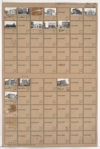
Tax Assessment Block Folder, Kansas City, MO, District 11, Block 322

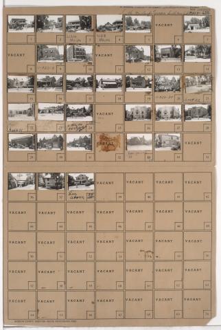
Folder contains photographs of residences, businesses, and other buildings in the Plaza/Westport neighborhood, from 43rd Street south to 47th Street, and Mill Creek Parkway (later J. C. Nichols Parkway) east to Main Street. Roy's Restaurant, at 4500 Main, and the Blue Room, at 4536 Main, are among the buildings pictured.

Tax Assessment Block Folder, Kansas City, MO, District 5, Block 168

Folder contains photographs of businesses and other buildings in the Downtown East neighborhood, from 17th Street south to 18th Street, and Troost Avenue east to Forest Avenue. Van's Variety Store, at 1808 East 18th, Panama Social Club, at 1126 East 18th, and Victory Confectionery Cafe, at 17th and Troost, are among the buildings pictured.

Tax Assessment Block Folder, Kansas City, MO, District 4, Block 29

Folder contains photographs of businesses and other buildings in downtown Kansas City, from 8th Street south to 9th Street, and Oak Street east to Locust Street. The Palmer Hotel, at 408 East 9th, and the Studio Building, at 412-416 East 9th, are among the buildings pictured.

Tax Assessment Block Folder, Kansas City, MO, District 3, Block 27

Folder contains photographs of businesses and other buildings in the Quality Hill neighborhood, from 12th Street south to 13th Street, and Summit Street east to Jefferson Street. Crane Company, at 1232-1234 Jefferson, and the 7-11 Club, at 711 West 12th, are among the buildings pictured.

Tax Assessment Block Folder, Kansas City, MO, District 2, Block 262

Folder contains photographs of residences and businesses in the Old Town addition, from 4th Street south to 5th Street, and Locust Street east to Cherry Street. Johnnie's Place, at 510 E. 5th, and a L. L. Coryell & Sons gas station, at 502 E. 5th, are among the buildings pictured. A billboard for Folger's Coffee can be seen in one of the images.