Parking garages

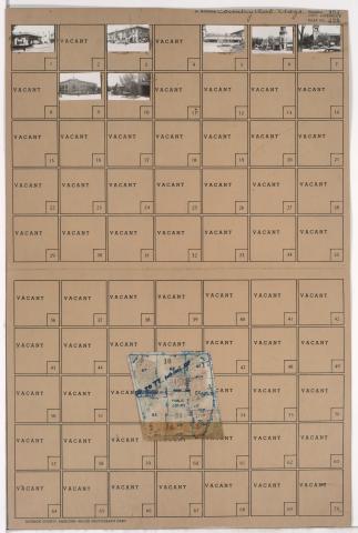
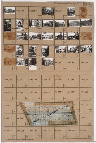
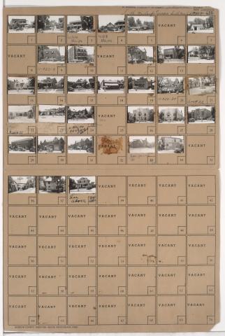
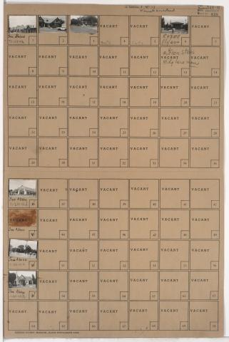
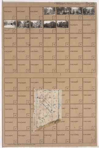
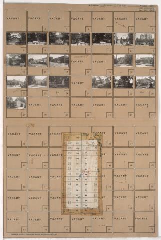
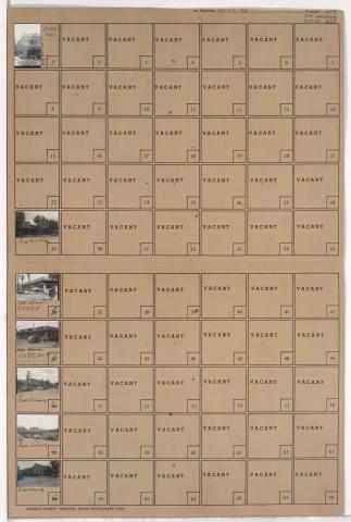
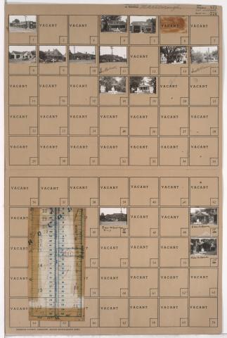
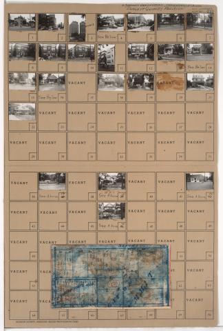
Tax Assessment Block Folder, Kansas City, MO, District 17, Block 209

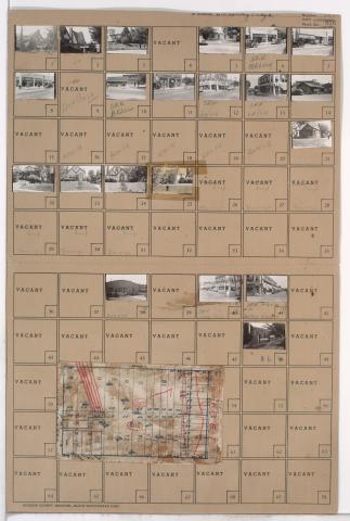
Folder contains photographs of residences and businesses in the Waldo neighborhood, from 74th Terrace south to 75th Street, and Wornall Road east to Wyandotte Street. The 8th Ward Democratic Club, at 212 West 75th, Kahle Grocery, at 214 West 75th, and Velvet Freeze Ice Cream, at 75th and Wornall, are among the buildings pictured. Folder also includes a plat map of the block.

Tax Assessment Block Folder, Kansas City, MO, District 11, Block 346

Folder contains photographs of businesses and other buildings in the Country Club Plaza neighborhood, from 46th Terrace south to 47th Street, and Wornall Road east to Mill Creek Parkway (later J. C. Nichols Parkway). The Mill Creek Building, at 4638 Mill Creek Parkway, and Tower Building, at 114 West 47th, are among the buildings pictured. Folder also includes a plat map of the block.

Tax Assessment Block Folder, Kansas City, MO, District 11, Block 354

Folder contains photographs of residences, businesses, and other buildings in the Volker neighborhood, from 39th Street south to 39th Terrace, and Clark Avenue east to Waddell Avenue. Roanoke Theatre, at 813 West 39th, is among the buildings pictured. Folder also includes a plat map of the block.

Tax Assessment Block Folder, Kansas City, MO, District 11, Block 322

Folder contains photographs of residences, businesses, and other buildings in the Plaza/Westport neighborhood, from 43rd Street south to 47th Street, and Mill Creek Parkway (later J. C. Nichols Parkway) east to Main Street. Roy's Restaurant, at 4500 Main, and the Blue Room, at 4536 Main, are among the buildings pictured.

Tax Assessment Block Folder, Kansas City, MO, District 12, Block 101

Folder contains photographs of residences and businesses in the South Plaza neighborhood from 50th Street south to 51st Street, and Baltimore Avenue east to Main Street. Crown Drug, at 51st and Main, and Country Club Laundry, at 5028 Main, are among the buildings pictured. Folder also contains a plat map of the block.

Tax Assessment Block Folder, Kansas City, MO, District 11, Block 50

Folder contains photographs of residences, businesses, and apartment buildings in the Valentine neighborhood, from 33rd Street south to 34th Street, and Pennsylvania Avenue east to Broadway Boulevard. The Tattershall Hotel, at at 3308-3310 Broadway, and the Porter Building, at 406 West 34th,