Post offices

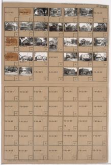
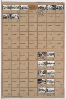
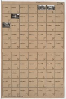
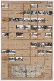
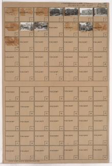
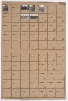
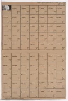
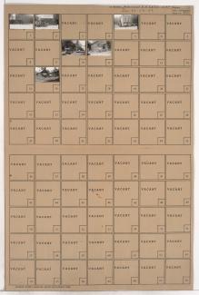
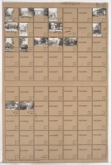
Tax Assessment Block Folder, Kansas City, MO, District 11, Block 296

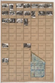
Folder contains photographs of residences, businesses, and other buildings in the Westport neighborhood, from 40th Street south to 40th Terrace, and Pennsylvania Avenue east to Washington Street. Fire Station No. 19, at 4012 Washington, is among the buildings pictured. Folder also includes a plat map of the block.

Tax Assessment Block Folder, Kansas City, MO, District 7, Block 120

Folder contains photographs of residences, businesses, and other buildings in the East Blue Valley neighborhood, from 15th Street (later Truman Road) south to 16th Terrace, and Bristol Avenue east to Corrington Avenue. Folder also contains a plat map of the block. A post office, at 15th and Corrington, is among the buildings pictured.

Tax Assessment Block Folder, Kansas City, MO, District 6, Block 73

Folder contains photographs of residences, businesses, and other buildings in the Independence Plaza neighborhood, from Independence Avenue south to 6th Street, and Gladstone Boulevard east to Benton Boulevard. Post Office Station C, at 3021 Independence Avenue, is among the buildings pictured.

Tax Assessment Block Folder, Kansas City, MO, District 2, Block 65

Folder contains photographs of residences in the East Bottoms area, from Guinotte Avenue south to the rail lines, and from Montgall Avenue east to Chestnut Avenue. The Heim Post office, at 3003 Guinotte (later 2703), and Fire Engine House No. 20, at 3001 Guinotte (later 2701), are among the buildings pictured.