Schools

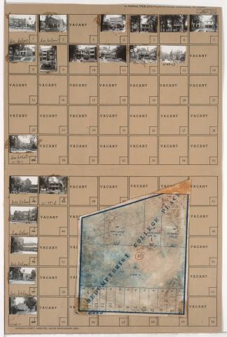
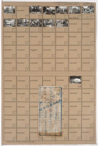
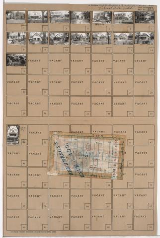
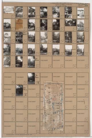
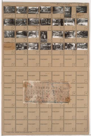
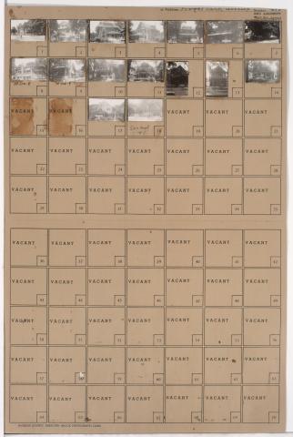
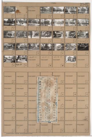
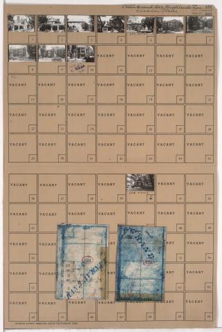
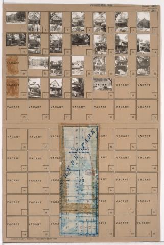
Tax Assessment Block Folder, Kansas City, MO, District 12, Block 59

Folder contains photographs of a residence and William Rockhill Nelson School in the Western 49-63 neighborhood, from 52nd Street south to 53rd Street, and Holmes Street east to Charlotte Street. The school, later part of the University of Missouri-Kansas City, is located at 5228 Charlotte Street.

Tax Assessment Block Folder, Kansas City, MO, District 11, Block 49

Folder contains photographs of residences, apartments, and other buildings in the Old Hyde Park neighborhood, from Linwood Boulevard south to 34th Street, and Broadway Boulevard east to Wyandotte Street. Our Lady of Perpetual Help Catholic Church, at 3333 Broadway, and Redemptorist School, at 225 West Linwood, are among the buildings pictured. Folder also includes a plat map of the block.

Tax Assessment Block Folder, Kansas City, MO, District 10, Block 217

Folder contains photographs of residences and other buildings in the Ivanhoe Southeast neighborhood, from 44th Street south to 45th Street, and Olive Street east to Wabash Avenue. Kumpf School, at 45th and Olive, is among the buildings pictured. Folder also includes a plat map of the block.

Tax Assessment Block Folder, Kansas City, MO, District 10, Block 201

Folder contains photographs of residences and other buildings in the Manheim Park neighborhood, from 43rd Street south to 44th Street, and Forest Avenue east to Tracy Avenue. Bancroft School, at 4300 Tracy, is among the buildings pictured. Folder also includes a plat map of the block.

Tax Assessment Block Folder, Kansas City, MO, District 10, Block 181

Folder contains photographs of residences and other buildings in the Manheim Park neighborhood, from 42nd Street south to 43rd Street, and Tracy Avenue east to Virginia Avenue. Immanuel Evangelical Lutheran Church, at 3200 East 42nd, is among the buildings pictured. Folder also includes a plat map of the block.

Tax Assessment Block Folder, Kansas City, MO, District 10, Block 160

Folder contains photographs of residences and other buildings in the Manheim Park neighborhood, from 39th Street south to 40th Street, and Tracy Avenue east to Virginia Avenue. St. James Catholic School, at 3939-3941 Tracy, is among the buildings pictured. Folder also includes a plat map of the block.

Tax Assessment Block Folder, Kansas City, MO, District 9, Block 300

Folder contains photographs of residences and other buildings in the Oak Park Southwest neighborhood, from 39th Street south to 40th Street, and Agnes Avenue east to Bellefontaine Avenue. Blessed Sacrament Roman Catholic Church and School, on 39th Street, are among the buildings pictured. Folder also includes a plat map of the block.

Tax Assessment Block Folder, Kansas City, MO, District 11, Block 234

Folder contains photographs of residences and apartment buildings in the Southmoreland neighborhood, from 40th Street south to 41st Street, and Main Street east to Walnut Street. St. Paul's Episcopal Church, at 40th and Main, and Rollins School, at 4043 Main, are among the buildings pictured. Folder also includes a plat map of the block.

Tax Assessment Block Folder, Kansas City, MO, District 11, Block 230

Folder contains photographs of residences, apartments, and other buildings in the Southmoreland neighborhood, from 39th Street south to 40th Street, and McGee Street east to Oak Street. Westport High School, at 315 East 39th, is among the buildings pictured. Folder also includes a plat map of the block.