Schools

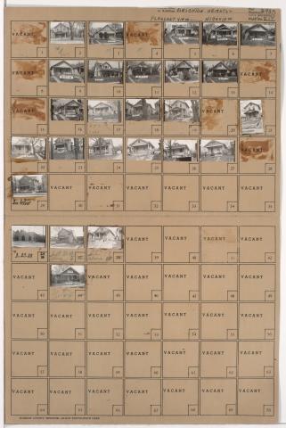
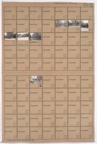
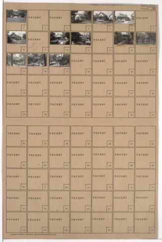
Tax Assessment Block Folder, Kansas City, MO, District 8, Block 182

Folder contains photographs of residences and a school in the Ingleside neighborhood, from 27th Street south to 28th Street, and Monroe Avenue east to Cleveland Avenue. The Greenwood School, at 3711 Monroe, is among the buildings pictured. Folder also includes a plat map of the block.

Tax Assessment Block Folder, Kansas City, MO, District 8, Block 27

Folder contains photographs of residences and other buildings in the East Community Team neighborhood, from 24th Street south to 25th Street, and Brighton Avenue east to Quincy Avenue. St. Michael's Parochial School, at 2417-2421 Brighton, is among the buildings pictured.

Tax Assessment Block Folder, Kansas City, MO, District 7, Block 58

Folder contains photographs of residences and other buildings in the Sheffield neighborhood, from 10th Street south to 11th Street, and Bennington Avenue east to Newton Avenue. St. Stephen's Roman Catholic Church and School, at 11th and Newton, are among the buildings pictured.

Tax Assessment Block Folder, Kansas City, MO, District 6, Block 144

Folder contains photographs of the Kansas City National Training School for Missionaries and Deaconesses (later St. Paul's School of Theology) in the West Blue Valley neighborhood, from 15th Street (later Truman Road) south to 16th Street, and Van Brunt Boulevard east to Denver Avenue.