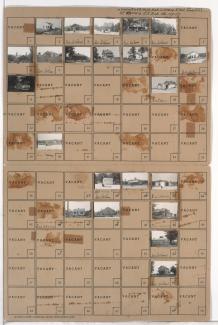
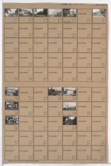
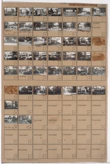
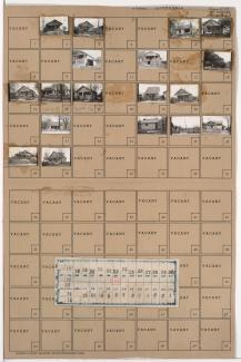
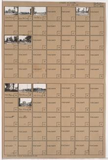
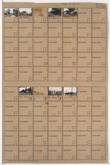
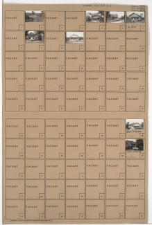
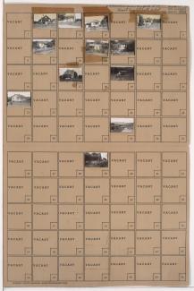
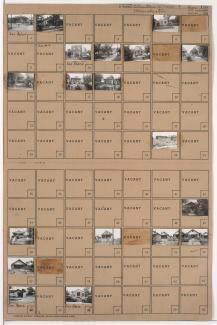
Tax Assessment Block Folder, Kansas City, MO, District 20G, Block 166
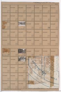
Folder contains photographs of businesses and other buildings in the Marlborough South neighborhood south of the 1940 Kansas City city limits, south of 86th Street and from Lydia Avenue east to Wayne Avenue, including a section of Flora Avenue. Folder also includes a plat map of the block.