Stores & shops

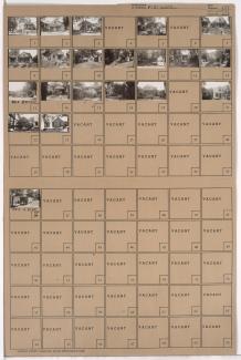
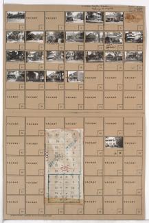
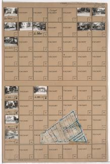
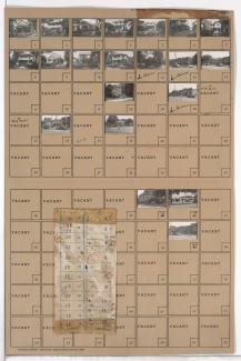
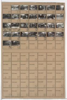
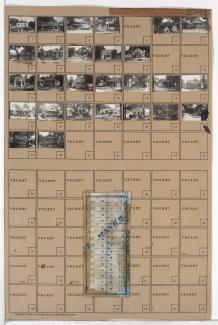
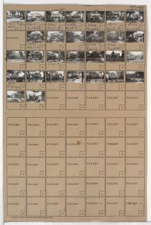
Tax Assessment Block Folder, Kansas City, MO, District 11, Block 346

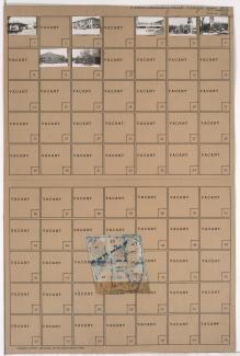
Folder contains photographs of businesses and other buildings in the Country Club Plaza neighborhood, from 46th Terrace south to 47th Street, and Wornall Road east to Mill Creek Parkway (later J. C. Nichols Parkway). The Mill Creek Building, at 4638 Mill Creek Parkway, and Tower Building, at 114 West 47th, are among the buildings pictured. Folder also includes a plat map of the block.

Tax Assessment Block Folder, Kansas City, MO, District 13, Block 168

Folder contains photographs of residences, businesses, and other buildings in the Eastern 49-63 neighborhood, from 55th Street south to 56th Street, and Forest Avenue east to Tracy Avenue. University Heights Christian Church, at 56th and Forest, is among the buildings pictured. Folder also includes a plat map of the block.

Tax Assessment Block Folder, Kansas City, MO, District 11, Block 389

Folder contains photographs of residences, businesses, and other buildings in the Westport neighborhood, from Westport Road south to 43rd Street and east to Roanoke Road, including a section of Archibald Avenue. Westport Pharmacy, at 901 Westport Road, and Bell's Market, at 903 Westport Road, are among the buildings pictured. Folder also includes a plat map of the block.