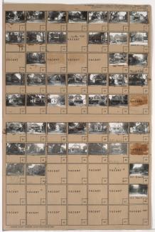
Tax Assessment Block Map, Kansas City, MO, District 11, Block 375

Map of block in the the Volker neighborhood, from 41st Terrace south to 42nd Street, and Holly Street east to Roanoke Road, including a section of 41st Place, containing information about tax assessment values of included properties, and illustrating lot numbers for the block. Photographs of properties on the block can be viewed below.