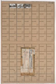
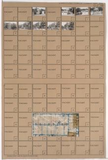
Tax Assessment Block Folder, Kansas City, MO, District 11, Block 339
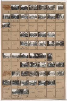
Folder contains photographs of residences and apartment buildings in the Plaza/Westport neighborhood, from 44th Street south to 46th Street, and Washington Street east to Broadway Boulevard. Folder also includes a plat map of the block, which can be viewed below.