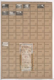
Tax Assessment Block Folder, Kansas City, MO, District 20G, Block 93
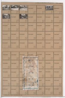
Folder contains photographs of residences in the Rolling Meadows neighborhood south of the 1940 Kansas City city limits, from 82nd Street south to 83rd Street, and Oak Street east to Locust Street. Folder also includes a plat map of the block.