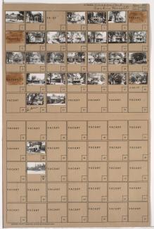
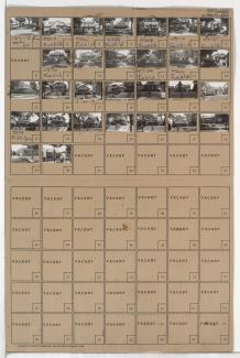
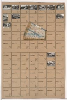
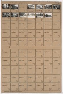
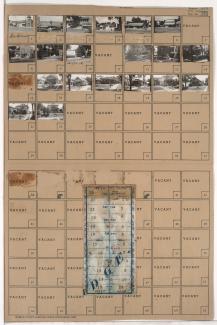
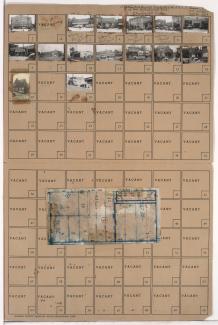
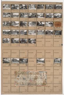
Tax Assessment Block Folder, Kansas City, MO, District 17, Block 226
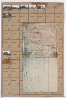
Folder contains photographs of residences and businesses in the Waldo neighborhood, from 75th Street south to 77th Street, and Wornall Road east to Wyandotte Street. Dierks and Son's Lumber Company, at 75th and Wornall, is among the buildings pictured. Folder also includes a plat map of the block.