2035 Wyandotte Street

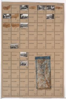
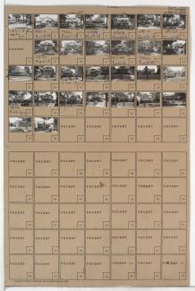
Folder contains photographs of residences in the Brookside neighborhood, from 63rd Street south to Meyer Boulevard, and Wyandotte Street/Brookside Plaza east to Baltimore Avenue. A Safeway Grocery store, at 63rd and Wyandotte is among the buildings pictured. Folder also includes a plat map of the block.
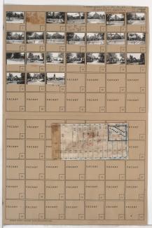
Folder contains photographs of residences and businesses in the Holmes Park neighborhood, from 70th Terrace south to Gregory Boulevard, and Oak Street east to Cherry Street. Folder also includes a plat map of the block.
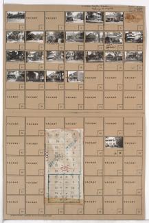
Folder contains photographs of residences, businesses, and other buildings in the Eastern 49-63 neighborhood, from 55th Street south to 56th Street, and Lydia Avenue east to Paseo Boulevard. Folder also includes a plat map of the block.
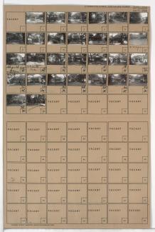
Folder contains photographs of residences and businesses in the Blue Hills neighborhood, from 58th Street south to 59th Street, and Wabash Avenue east to Prospect Avenue.
Folder contains photographs of residences and businesses in the Blue Hills neighborhood, from 55th Street south to 56th Street, and Michigan Avenue east to Euclid Avenue.
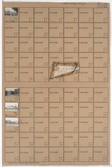
Folder contains photographs of residences and businesses in the Blue Hills neighborhood, from Swope Parkway south to 48th Terrace, and Wabash Avenue east to Prospect Avenue. Crown Drug Company, at 4800 Prospect, is among the buildings pictured. Folder also includes a plat map of the block.
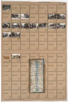
Folder contains photographs of residences and businesses in the Western 49-63 neighborhood, from 56th Street south to 57th Street, and Harrison Street east to Troost Avenue. A Safeway grocery store, at 5640 Troost, is among the buildings pictured. Folder also includes a plat map of the block.
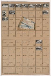
Folder contains photographs of businesses and other buildings in the Country Club Plaza neighborhood, from 48th Street south to Ward Parkway, and Jefferson Street east to Pennsylvania Avenue. Folder also includes a plat map of the block.