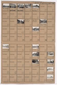
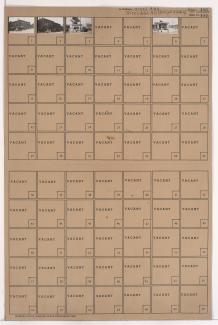
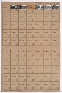
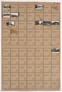
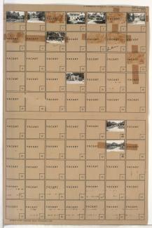
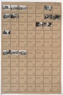
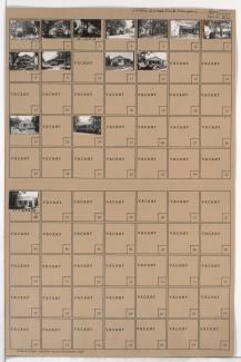
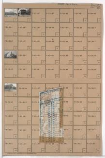
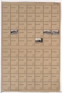
Tax Assessment Block Folder, Kansas City, MO, District 4, Block 354
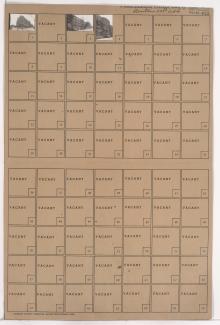
Folder contains photographs of businesses and other buildings in the Crown Center district, from Grand Avenue south to 26th Street and east to Walnut Street. The Grand Avenue Building, at Grand and Walnut, and the Hudson-Brace Motor Company are among the buildings pictured.