District No. 20 North & South Platted Area Maps I & L-Q, Jackson County, Missouri
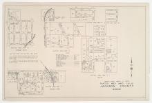
Small detail maps of platted areas I and L through Q of District 20 in Jackson County, Missouri. Maps illustrate block numbers, appraised values, and plat boundaries, as well as streets, waterways, and railroads. Map I covers the Holmes Park area from Bannister Road south to Gustin Road, and from roughly Oak Wood Drive east to Scott Road. Map L covers the Dallas area from 97th and 99th Streets south to roughly 105th Street, and from the blocks west of Jefferson Street east to the blocks east of Wornall Road.