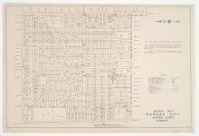
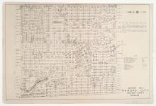
District No. 20 North Platted Area Maps G, J, K, & KK, Jackson County, Missouri
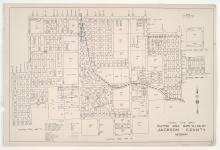
Small detail maps of platted areas G, J, K, and KK of the northern half of District 20 in Jackson County, Missouri. Maps illustrate block numbers, appraised values, and plat boundaries, as well as streets and railroads. Map G covers a large area of present day Kansas City, from 77th Street south to 89th and 91st Streets, and from the Kansas state line east to The Paseo. Map J covers an area from Swan Street south to Henry Street, and Indiana Avenue east to Cleveland Avenue.