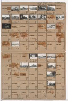
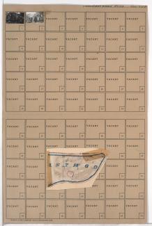
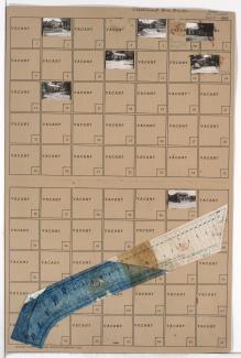
Tax Assessment Block Folder, Kansas City, MO, District 14, Block 23

Folder contains photographs of residences and businesses in the Eastwood Hills West neighborhood, from 49th Street south to Blue Ridge Road, and Hardesty Avenue east to Coal Mine Road.