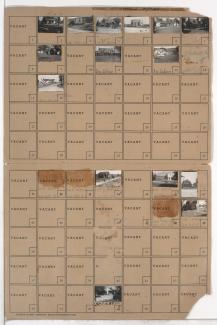
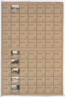
Tax Assessment Block Map, Kansas City, MO, District 20, Block 84 - 2
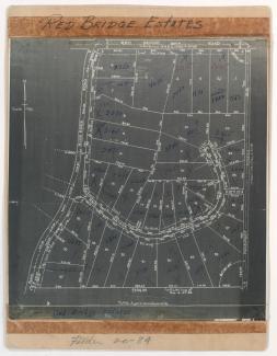
Map of area in the Red Bridge neighborhood, south of Red Bridge Road, from Blue River Road east to east to Prospect Avenue and surrounding Red Bridge Terrace, containing information about tax assessment values of included properties, and illustrating lot numbers for the block. Photographs of properties on the block and a larger area map can be viewed below.