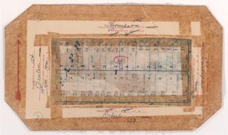
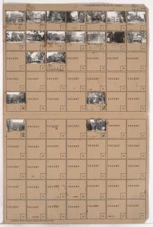
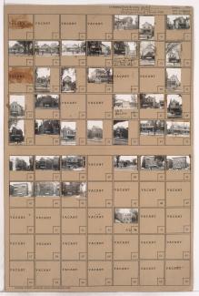
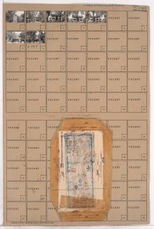
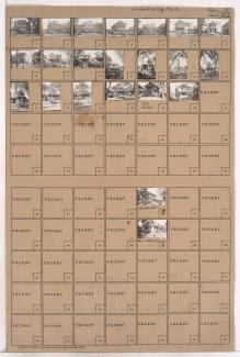
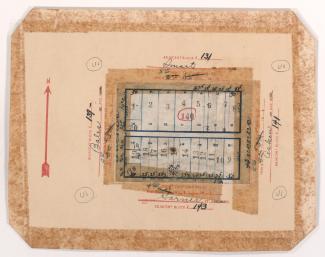
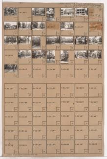
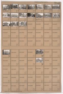
Tax Assessment Block Folder, Kansas City, MO, District 2, Block 146
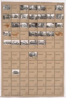
Folder contains photographs of residences in the Scaritt Point neighborhood, from Benton Boulevard east to Indiana Avenue, and Thompson Avenue south to Roberts Street. Folder also includes plat map of the block, which can be viewed below.