Volker

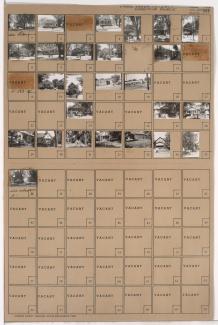
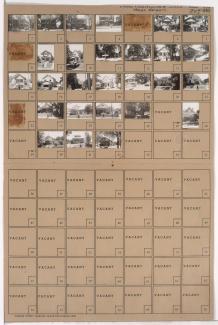
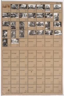
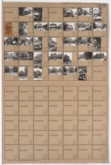
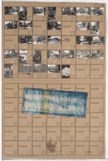
Tax Assessment Block Folder, Kansas City, MO, District 11, Block 383

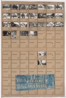
Folder contains photographs of residences and other buildings in the Volker neighborhood, from 42nd Street south to 43rd Street/Westport Road, and Bell Street east to Genessee Street. Immanuel Lutheran Church, at 1706 Westport, is among the buildings pictured. Folder also includes a plat map of the block.

Tax Assessment Block Folder, Kansas City, MO, District 11, Block 382

Folder contains photographs of residences, businesses, and other buildings in the Volker neighborhood, from 42nd Street south to 43rd Street/Westport Road, and State Line Road east to Bell Street. A. Nelson Transfer Company, at 1802-1812 Westport Road, is among the buildings pictured.

Tax Assessment Block Map, Kansas City, MO, District 11, Block 375

Map of block in the the Volker neighborhood, from 41st Terrace south to 42nd Street, and Holly Street east to Roanoke Road, including a section of 41st Place, containing information about tax assessment values of included properties, and illustrating lot numbers for the block. Photographs of properties on the block can be viewed below.

Tax Assessment Block Folder, Kansas City, MO, District 11, Block 384

Folder contains photographs of residences, businesses, and other buildings in the Volker neighborhood, from 42nd Street south to 43rd Street, and Genessee Street east to Wyoming Street. Roanoke Presbyterian Church, at 42nd and Wyoming, and Velvet Freeze Ice Cream, at 1624 Westport, are among the buildings pictured. Folder also includes a plat map of the block.