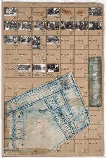
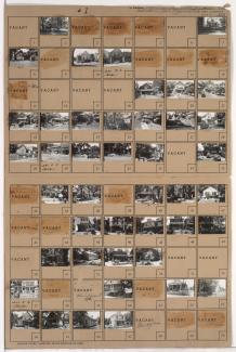
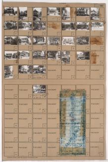
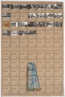
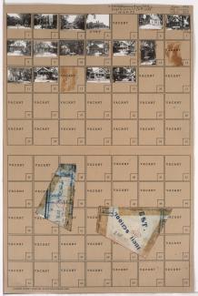
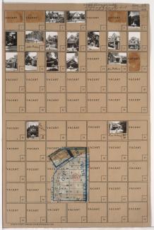
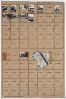
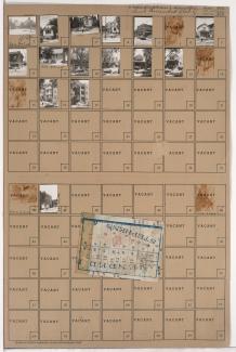
Tax Assessment Block Folder, Kansas City, MO, District 11, Block 390
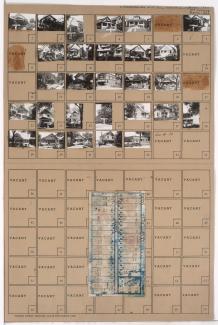
Folder contains photographs of residences and other buildings in the Westport neighborhood, from 43rd Street south to 44th Street, and Madison Avenue east to Summit Street. Holsum Market, at 4345 Madison, is among the buildings pictured. Folder also includes a plat map of the block.