
Detail map of District 9 of the 1940 tax assessment project. Map illustrates block numbers, appraised values, and plat boundaries, as well as streets, parks, and other features. The map covers an area from 31st Street south to 47th Street, and Prospect Avenue east to Topping Avenue.
Search
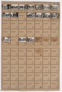
Folder contains photographs of residences and apartment buildings in the Parkview neighborhood, from Independence Avenue south to 7th Street, and Garfield Avenue east to Brooklyn Avenue. The Italian Baptist Mission, on Brooklyn, Passantino Brothers Funeral Home, at 2117 Independence, and Kansas City College of Osteopathy and Surgery facilties, at Independence and Garfield, are among the buildings pictured.