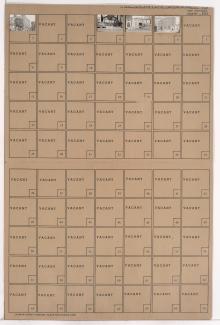
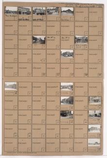
Folder contains photographs of businesses and other buildings in the Crossroads District, from 20th Street south to Milwaukee Avenue (22nd Street), and St. Paul Avenue east to Baltimore Avenue. The Liquid Carbonic Company building, at 2000 Baltimore, and Folger's Coffee buildings, at 2012 and 2024 Baltimore, are among the buildings pictured.