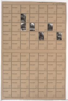
Folder contains photographs of residences in the 77th Terrace south to U.S. Highway 71 (later Hickman Mills Road) and 79th Street, and Brooklyn Avenue east to Prospect Avenue.
Folder contains photographs of residences in the 77th Terrace south to U.S. Highway 71 (later Hickman Mills Road) and 79th Street, and Brooklyn Avenue east to Prospect Avenue.
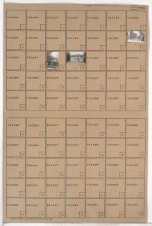
Folder contains photographs of residences in the Walnut Grove neighborhood, from 77th Terrace south to 78th Street, and Paseo Boulevard east to Brooklyn Avenue, including a section of U.S. Highway 71 (later Hickman Mills Road).
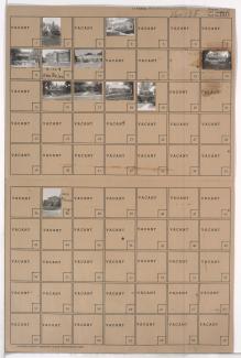
Folder contains photographs of residences and other buildings in the Walnut Grove neighborhood, from 78th Street south to 79th Street, and Paseo Boulevard east to U.S. Highway 71 (later Hickman Mills Road) and Brooklyn Avenue.
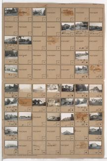
Folder contains photographs of residences, businesses, and other buildings in the Crossgates neighborhood, south of Hickman Mills Road and east of Hillcrest Road, in an area that later would fall in within the Kansas City and Grandview city limits.
Folder contains photographs of residences, businesses, and other buildings in the Royal Oaks neighborhood, from 107th Street south to Hickman Mills Road, and Grandview Road east to Hillcrest Road.

Folder contains photographs of residences and businesses in the West Blue Valley neighborhood, from 12th Street south to 14th Street, and Lawndale Avenue east to Topping Avenue.
Folder contains photographs of buildings in the West Blue Valley neighborhood, from 14th Street south to 15th Street (later Truman Road), and Lawndale Avenue east to Topping Avenue.

Folder contains photographs of residences and other buildings in the West Blue Valley neighborhood, from 12th Street south to 14th Street, and Oakley Avenue east to Lawndale Avenue.
Folder contains photographs of residences and other buildings in the West Blue Valley neighborhood, from 14th Street south to 15th Street (later Truman Road), and Oakley Avenue east to Lawndale Avenue.

Folder contains photographs of residences in the Blue Valley neighborhood, from 22nd Street south to 23rd Street, and Oakley Avenue east to Lawndale Avenue.

Folder contains photographs of residences in the Clifton Heights addition, from Norledge Place south to Scarritt Avenue, and Lawndale Avenue east to Topping Avenue.

Folder contains photographs of residences in the Clifton Heights addition, from Norledge Place south to Scarritt Avenue, and Oakley Avenue east to Lawndale Avenue.

Folder contains photographs of residences in the South Blue Valley neighborhood, from 23rd Street south to 24th Street, and Oakley Avenue east to Lawndale Avenue.
Folder contains photographs of residences in the South Blue Valley neighborhood, from 23rd Street south to 24th Street, and Lawndale Avenue east to Topping Avenue.

Folder contains photographs of residences in the South Blue Valley neighborhood, from 24th Street south to 25th Street, and Oakley Avenue east to Lawndale Avenue.
Folder contains photographs of residences in the South Blue Valley neighborhood, from 24th Street south to 25th Street, and Lawndale Avenue east to Topping Avenue.

Folder contains a photograph of a residence in the South Blue Valley neighborhood, from 25th Street south to 26th Street, and Lawndale Avenue east to Topping Avenue.

Folder contains photographs of residences in the South Blue Valley neighborhood, from 26th Street south to 27th Street, and Oakley Avenue east to Lawndale Avenue.

Folder contains photographs of the Askew Public School, at at 2630 Askew, on a block from 26th Street south to 27th Street, and Lawndale Avenue east to Topping Avenue.
Folder contains photographs of residences and businesses in the Clifton Heights addition, from Scarritt Avenue south to St. John Avenue, and Oakley Avenue east to Lawndale Avenue. Chief Tire & Battery Shop, at 5612 St. John Avenue, is among the buildings pictured.