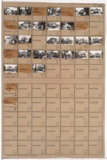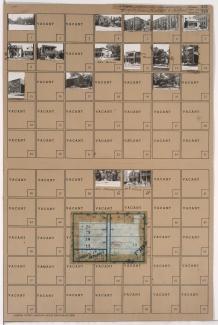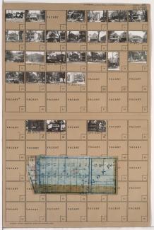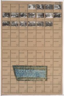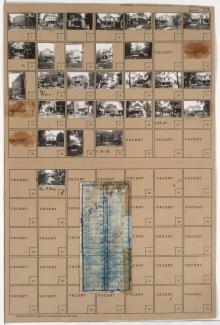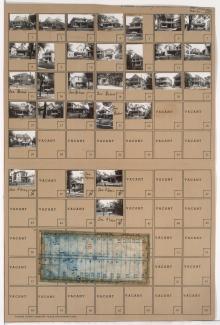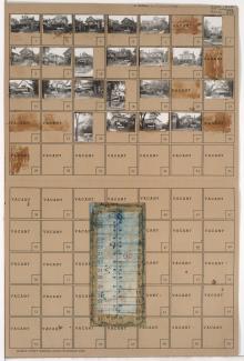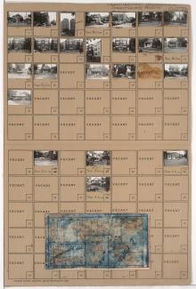
Folder contains photographs of businesses and other buildings in the Crossroads District, from Mastin Place (21st Street) south to Milwaukee Avenue (22nd Street), and Ft. Scott Avenue east to Wyandotte Street. A Jenkins Music Company warehouse, on 21st Street, and Westinghouse Electric, at 2124 Wyandotte, are among the buildings pictured.