Tax Assessment Block Folder, Kansas City, MO, District 3, Block 133

Folder contains photographs of businesses in the West Side neighborhood, from 21st Street south to Southwest Boulevard, and West Pennway east to Washington Street;
Street Names
Folder contains photographs of businesses in the West Side neighborhood, from 21st Street south to Southwest Boulevard, and West Pennway east to Washington Street;
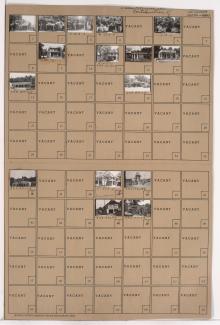
Folder contains photographs of residences, businesses, and other buildings in the Union Hill neighborhood, from 27th Terrace south to 28th Street, and McGee Street Trafficway east to Gillham Road. A Conoco gas station and Hudson Oil station are among the buildings pictured.

Second of two folders containing photographs of residences, businesses, and other buildings in the Union Hill neighborhood, adjacent to the Union Cemetery.