
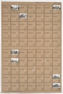
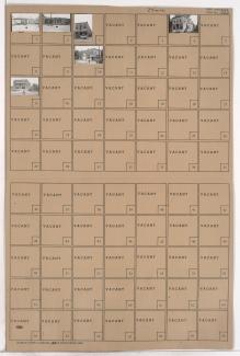
Folder contains a photograph of a Kansas City Power & Light Company power plant at 2nd Street and Grand Avenue, in an area of Kansas City from 1st Street south to 2nd Street, and Grand Avenue east to Cherry Street.
Folder contains a photograph of a Kansas City Power & Light Company power plant at 2nd Street and Grand Avenue, in an area of Kansas City from 1st Street south to 2nd Street, and Grand Avenue east to Cherry Street.
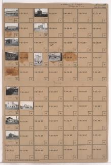
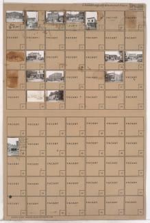
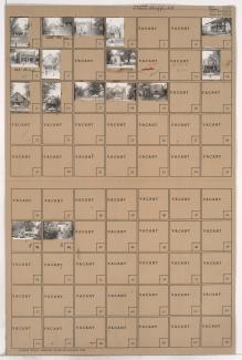
Folder contains photographs of businesses and industrial buildings in the Old Town addition, from Front Street south to 2nd Street, and Walnut Street east to Grand Avenue, including a section of Pine Avenue. Spencer Produce Company, at 128-132 Grand, Stewart Sand and Materials Company, at 100-120 East 2nd Street, and Michael-Swanson-Brady Produce Company, at 113-115 Walnut, are among the buildings pictured.
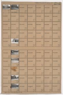
Folder contains photographs of businesses and other buildings in the Old Town addition, from Front Street south to 2nd Street, and Main Street east to Walnut Street. The Kansas City Southern Railroad office, at 2nd and Main, is among the buildings pictured. The A.S.B. Bridge can seen in the background of an image.

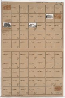
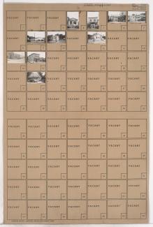
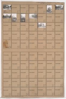
Folder contains a photograph of the Superior Ice and Storage Company building in the Old Town addition, from Front Street south to the intersection of Elm Street and Delaware Street.
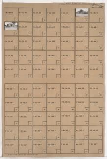
Folder contains photographs of industrial buildings in an area of Northeast Kansas City between the Missouri River and the rail lines, 1st Street, and Front Street, and spanning from the Hannibal Bridge to the A.S.B. Bridge, which can be seen in the background of one of the images.
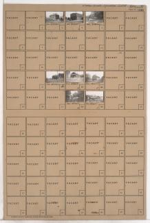
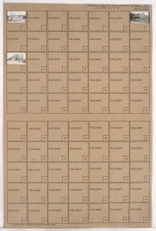
Folder contains photographs of buildings in the East Kansas addition, from Front Street south to 1st Street, and Gillis Street east to Troost Avenue.
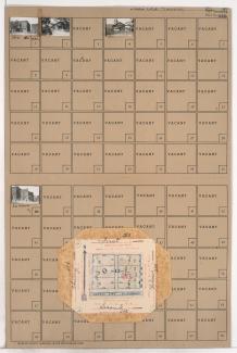
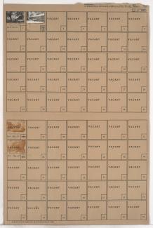
Folder contains a photograph of a Kansas City Gas Company building in the East Kansas addition, from Front Street south to 1st Street, and Campbell Street east to Gillis Street. The A.S.B. Bridge can be seen in the background of the image. Folder also contains plat map of the block.
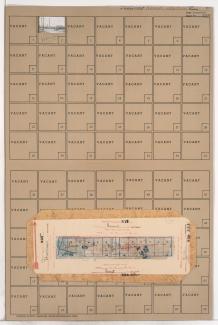
Folder contains photographs of residences and other businesses in the Old Town addition, from 1st Street south to 2nd Street, and Cherry Street east to Holmes Street. The Hannibal Bridge can be seen in the background of one image. Folder also includes plat map of the block.
Folder contains photographs of residences and other buildings in the East Kansas addition, from 1st Street south to 2nd Street, and Holmes Street east to Charlotte Street.
Folder contains photographs of buildings in the East Kansas addition, from 1st Street south to 2nd Street, and Charlotte Street east to Campbell Street.
Folder contains a photograph of a building in the East Kansas addition, from 1st Street south to 3rd Street, and Harrison Street east to Gillis Street.
Folder contains a photograph of a building in the East Kansas addition, from 1st Street south to 2nd Street, and Campbell Street east to Harrison Street.
Folder contains photographs of Kansas City Gas Company Station B and other buildings in the East Kansas addition, from 1st Street south to 3rd Street, and Gillis Street east to Troost Avenue.
Folder contains photographs of buildings in an area of Northeast Kansas City, from 1st Street south to Block 235, and Troost Avenue east to Forest Avenue.
Folder contains photographs of businesses in the Sheffield addition, from Wilson Avenue south to Winner Road, and Newton Avenue east to Ewing Avenue. A photograph of the Manhattan Club features numerous beer and soft drink advertisements.
Folder contains photographs of businesses in the Sheffield addition, from Wilson Avenue south to Winner Road, and Ewing Avenue east to Cambridge Avenue. The Atlas Cafe, at 6817 Wilson Avenue, is among the buildings pictured.
Folder contains photographs of residences and businesses in the Sheffield neighborhood, from Winner Road south to Roberts Street, and Ewing Avenue east to Cambridge Avenue.
Folder contains photographs of residences and businesses in the Sheffield neighborhood, from Roberts Street south to Independence Avenue, and Ewing Avenue east to Cambridge Avenue.
Folder contains photographs of residences and businesses in the Sheffield neighborhood, from Winner Road south to Roberts Street, and Newton Avenue east to Ewing Avenue. The Sheffield Post Office, at 410 Ewing, is among the buildings pictured.
Folder contains photographs of residences and businesses in the Sheffield neighborhood, from Roberts Road south to Independence Avenue, and Newton Avenue east to Ewing Avenue.