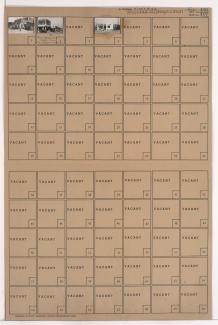
Folder contains photographs of businesses east of downtown Kansas City, from Independence Avenue south to 6th Street Trafficway, and Oak Street east to Oak Street Trafficway, diagonally bisected by Locust Street Trafficway.
Folder contains photographs of businesses east of downtown Kansas City, from Independence Avenue south to 6th Street Trafficway, and Oak Street east to Oak Street Trafficway, diagonally bisected by Locust Street Trafficway.
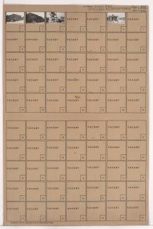
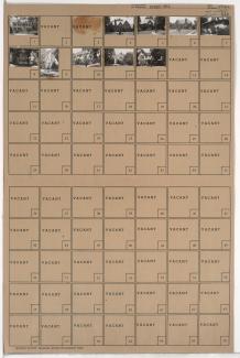
Folder contains photographs of businesses in downtown Kansas City, from Independence Avenue south to Locust Street Trafficway, and Oak Street east to Oak Street Trafficway. A hamburger stand on Locust Street Trafficway is among the buildings pictured.
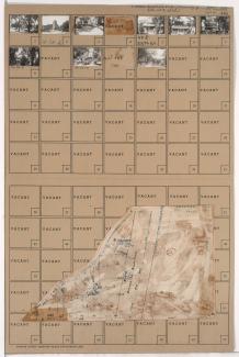
Folder contains photographs of residences and other buildings in the Crestwood neighborhood, from 54th Street south to 55th Street, and Westover Road east to Oak Street, including a section of Brookside Boulevard. The Brookside Hotel, at 5401 Brookside Boulevard, and the Second Presbyterian Church, at 55th and Oak, are among the buildings pictured. Folder also includes a plat map of the block.

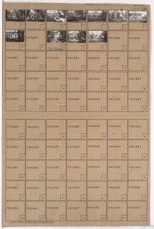
Folder contains photographs of residences in the Countryside neighborhood, from 54th Street south to 54th Terrace, and Main Street east to Westover Road.

Folder contains photographs of residences in the Countryside neighborhood, from 54th Terrace south to 55th Street, and Main Street east to Westover Road.

Folder contains photographs of residences in the Countryside neighborhood, from 55th Street south to Westover Road, and from Central Street east to Wyandotte Street.

Folder contains photographs of residences in the Countryside neighborhood, from 55th Street south to Westover Road, and Wornall Road east to Central Street.

Folder contains photographs of residences and other buildings in the Countryside neighborhood, from Westover Road south to 57th Street, and Wornall Road east to Central Street. The William Cullen Bryant School, at 57th and Wornall, is among the buildings pictured.

Folder contains photographs of St. Teresa's Academy in the Countryside neighborhood, from 55th Street south to 57th Street, and Wyandotte Street and Westover Road east to Main Street.

Folder contains photographs of residences in the Ward Estates neighborhood, from Westover Road south to 57th Street, and Belleview Avenue east to Summit Street.

Folder contains photographs of residences in the Ward Estates neighborhood, from 56th Street south to Westover Road, and Ward Parkway east to Belleview Avenue.

Folder contains photographs of residences in the Ward Estates neighborhood, from Westover Road south to 57th Street, and Ward Parkway east to Belleview Avenue.
Folder contains photographs of residences in the Ward Estates neighborhood, from 56th Street south to Westover Road, and Belleview Avenue east to Summit Street.

Folder contains photographs of residences in the Ward Estates neighborhood, from 56th Street south to Westover Road, and Summit Street east to Pennsylvania Avenue.

Folder contains photographs of residences in the Ward Estates neighborhood, from Westover Road south to 57th Street, and Summit Street east to Pennsylvania Avenue.
Folder contains photographs of residences in the Ward Estates neighborhood, from 56th Street south to Westover Road, and Pennsylvania Avenue east to Wornall Road.

Folder contains photographs of residences in the Ward Estates neighborhood, from Westover Road south to 57th Street, and Pennsylvania Avenue east to Wornall Road.