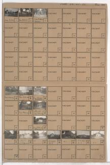
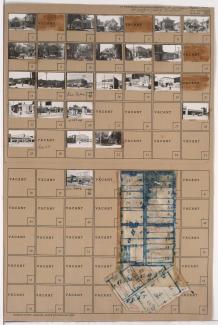
Folder contains photographs of residences, businesses, and other buildings in the Dodson neighborhood, from the 1940 Kansas City city limits south to 85th Street, and west of Indiana Avenue.
Folder contains photographs of residences, businesses, and other buildings in the Dodson neighborhood, from the 1940 Kansas City city limits south to 85th Street, and west of Indiana Avenue.
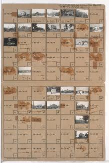
Folder contains photographs of residences, businesses, and other buildings in the Brown Estates neighborhood south of the 1940 Kansas City city limits, south of 55th Street and adjacent to U.S. Highway 50 and Byram Ford Road.
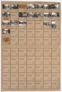
Folder contains photographs of residences, businesses, and apartment buildings in the Old Hyde Park neighborhood, from 36th Street south to 37th Street, and Broadway Boulevard east to Central Street. The Century Room, at 3607 Broadway, is among the buildings pictured.
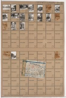
Folder contains photographs of residences, businesses, and other buildings in the Oak Park Northwest neighborhood, from 36th Street south to 37th Street, and Prospect Avenue east to Montgall Avenue. Herod's Kosher Market, at 3643 Prospect, is among the buildings pictured. Folder also includes a plat map of the block.
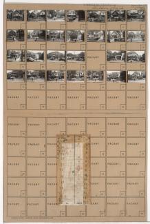
Folder contains photographs of residences, businesses, and other buildings in the Westport neighborhood, from 39th Terrace south to Westport Road, and Broadway Boulevard and Washington Street east to Central Street, including a section of 40th Street. Westport Laundry Company, at 3954 Central, Wayne's Body & Fender Works, at 4045 Broadway, are among the buildings pictured. Folder also includes a plat map of the block.
Folder contains photographs of residences, businesses, and apartment buildings in the Westport neighborhood, from 42nd Street (later Vietnam Veterans Memorial Drive) south to 43rd Street, and Baltimore Avenue east to Main Street. Folder also includes a plat map of the block.