Tax Assessment Block Folder, Kansas City, MO, District 17, Block 307
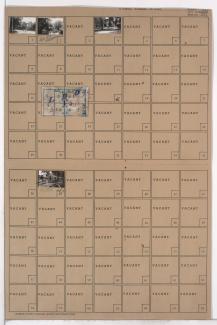
Folder contains photographs of residences and businesses in the Waldo neighborhood, from 77th Street south to the 1940 Kansas City city limits, and Washington Street east to Wornall Road. Kathrine's Place, at 7710 Wornall, is among the buildings pictured, with a city limits sign visible at the edge of the photograph. Folder also includes a plat map of the block.
Street Names