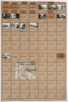
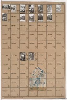
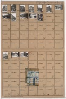
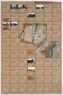
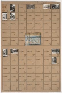
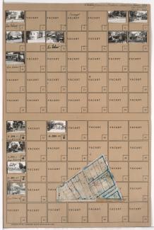
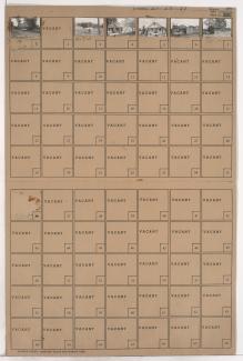
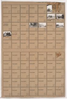
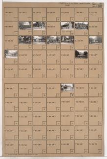
Folder contains photographs of businesses and other buildings in the Westport neighborhood, from Westport Road south to Archibald Avenue, and Mill Street east to Pennsylvania Avenue. Doerschuk's Drug Store, at 501 Westport, is among the buildings pictured. Folder also includes a plat map of the block.